Apollo 12
Like Apollo 11 before it Apollo 12’s setting is relatively flat and uninteresting as far as a 3D perspective is concerned, but it does have more in the way of craters to attract the eye, and one crater in particular containing the Surveyor 3 probe. The view of the site afforded by the 3D vantage point does allow it to become obvious why the cluster of craters in which they landed was called the snowman.
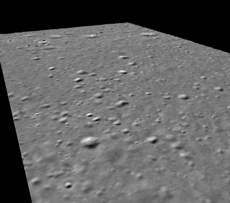
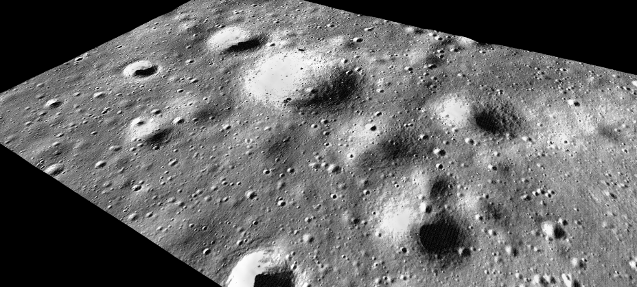
Closer to the final landing spot we are able to use the LRO data. The examples below use an LRO image at a similar time of lunar day referenced to the LRO RDR image that has been correctly linked to a terrain model. It’s interesting to note that using the 3D model it’s possible to tell that the flight path of the LM cuts over the northern rim of Surveyor crater on its way to its final landing spot.
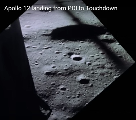
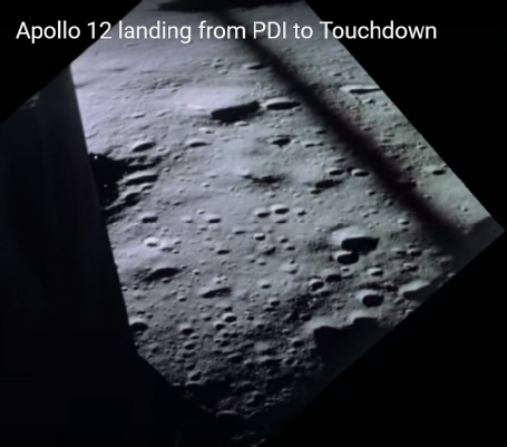
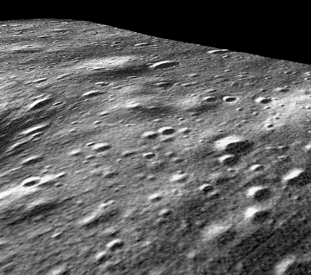
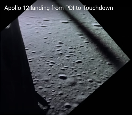
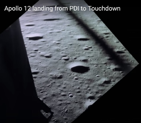
This slightly more varied terrain means that it’s possible to take a view of the landscape from the air as the LM approaches the site and compare it with the view from shown by modern probes.
Here, for example, is the view from this video immediately after pitchover, and below that is they approach the final landing site:
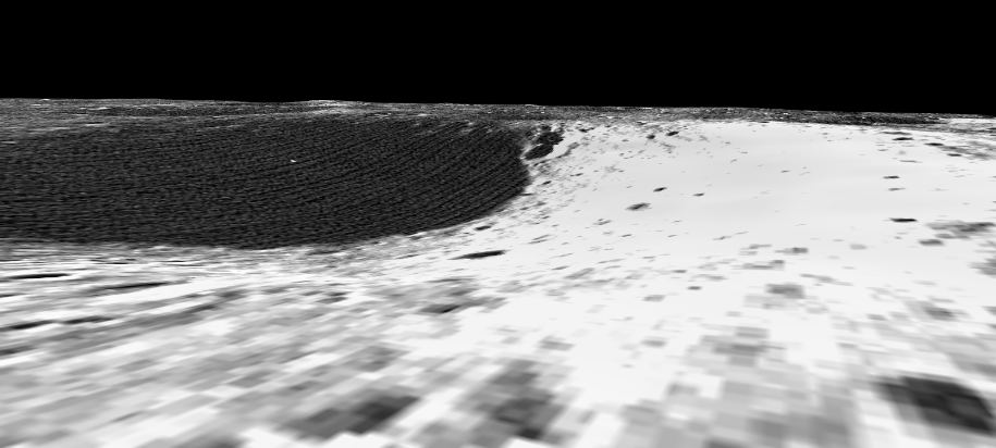
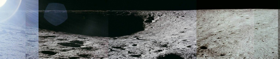
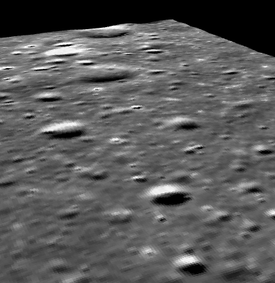
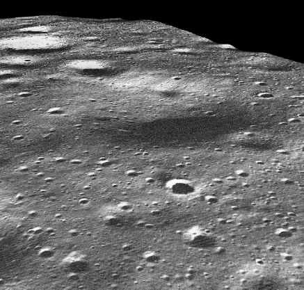
There are a number of photos of craters taken on the surface, but perhaps the most interesting one is this one showing Surveyor crater
Compare that with the view from the edge of Surveyor in the LRO 3D perspective:
These files allow you to view the Apollo 12 landing site for yourself:
LRO georeferenced file early lunar day
LRO georeferenced file mid lunar day