Apollo 15 in 3D
Apollo 15’s Hadley Rille site is blessed with five different DEM models we can use to generate 3D views, each with their own problems.
India’s Chandrayaan probe has a very detailed shot of most of Mons Hadley itself, but the strip that overs the rille area (and therefore the landing site) is for some reason unavailable on their website. There are lower resolution views available from other instruments on the probe, but not a DEM segment on which these can be superimposed. Chandrayaan-
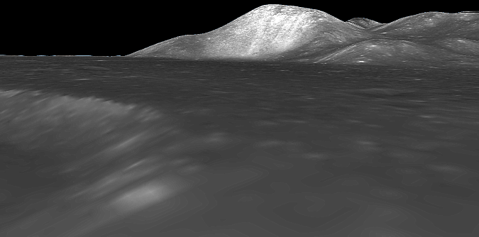
Japan has two excellent views of the Hadley area, but the night-
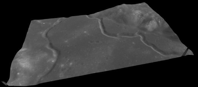
The LRO’s coverage of the site is excellent, and there is one high resolution DEM model available that covers the area explored by the Apollo 15 mission, but for the region as a whole there is only a WAC model that is relatively low resolution. It is possible, however, to overlay this model with higher resolution NAC strips by linking up common features such as craters and boulders.
The different 3D models available are given below.
Chandrayaan Chang’e-
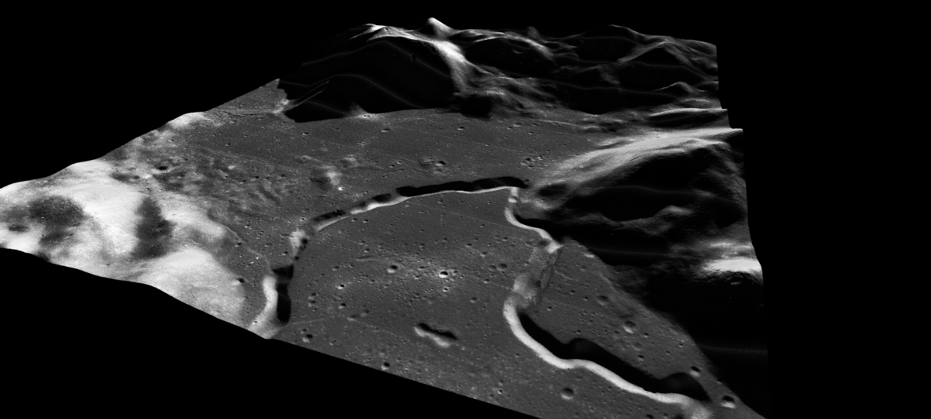
JAXA
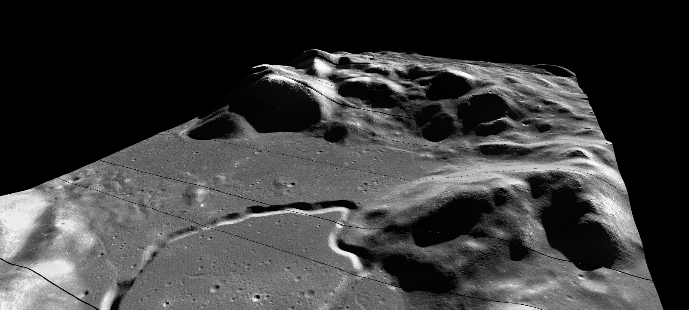
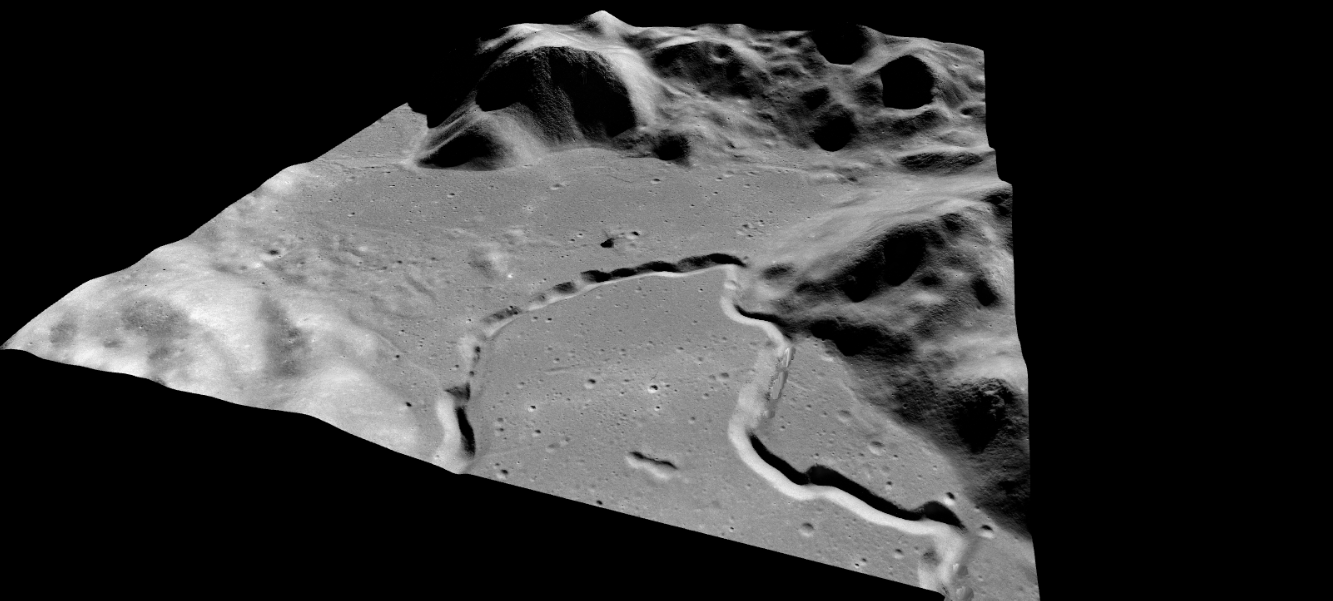
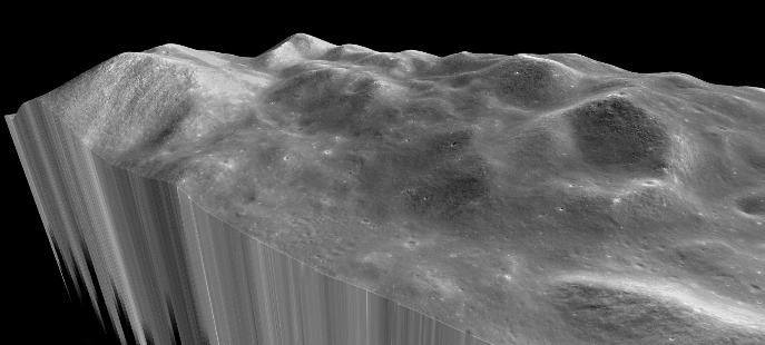
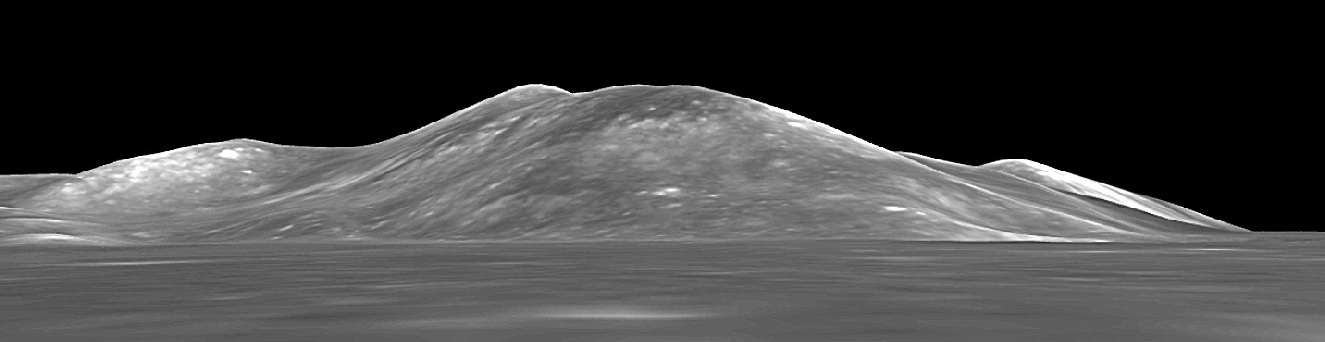
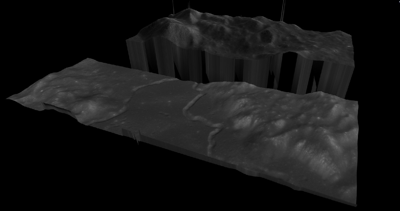
LROC WAC DEM & image
LROC WAC DEM with NAC strips superimposed
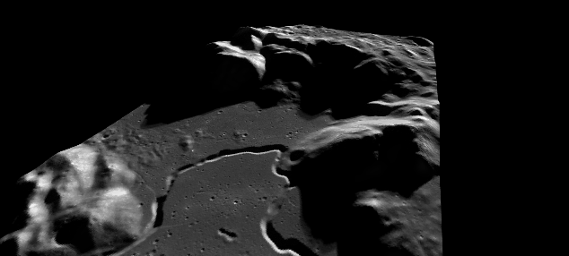
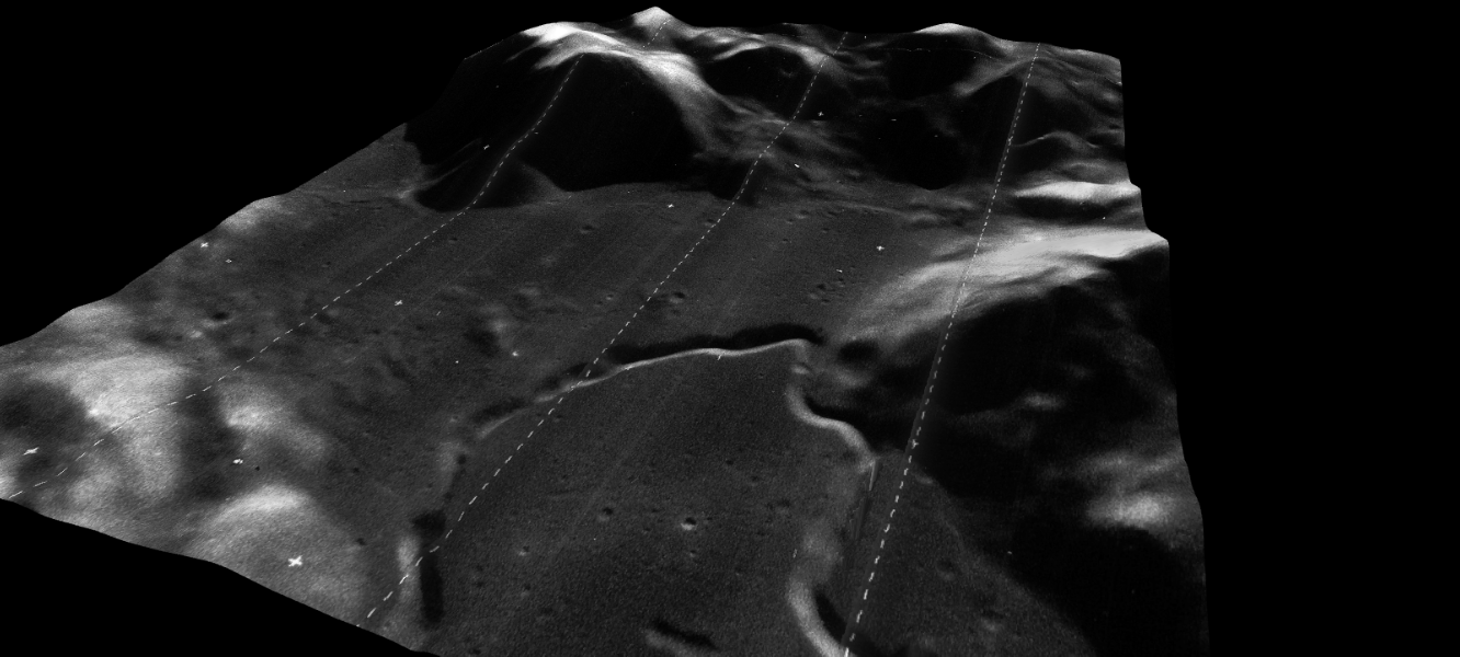
LROC NAC DEM & photography of the Apollo 15 site
One of the good things about having areas where there is good matching between the surface orthophotography and the underlying DEM is that you can use that to line up other images. Here, for example, are ones using the original Lunar Orbiter probe and Apollo images superimposed on Japan’s DEM.
A15-
LO5-
LO4-
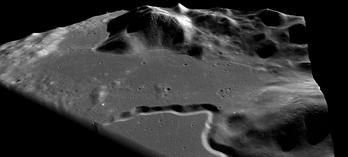
LROC NAC with different overlay consistent with Apollo mission views.
So, in a nutshell we have lots of photographs and models of the lunar surface -
Prior to landing Apollo 15 passed over the landing site and got some good photos of it -
One of the first jobs after landing was to perform a Stand-
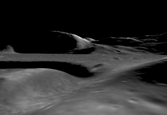
And here’s JAXA’s view of the same scene:
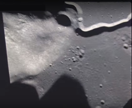
As with the other missions the 16mm camera ran during the landing, and the first stabilised view we have after pitchover is this one (below left), which we can again compare with a perspective taken from JAXA’s model of the surface.
Which compares nicely with the LRO view.
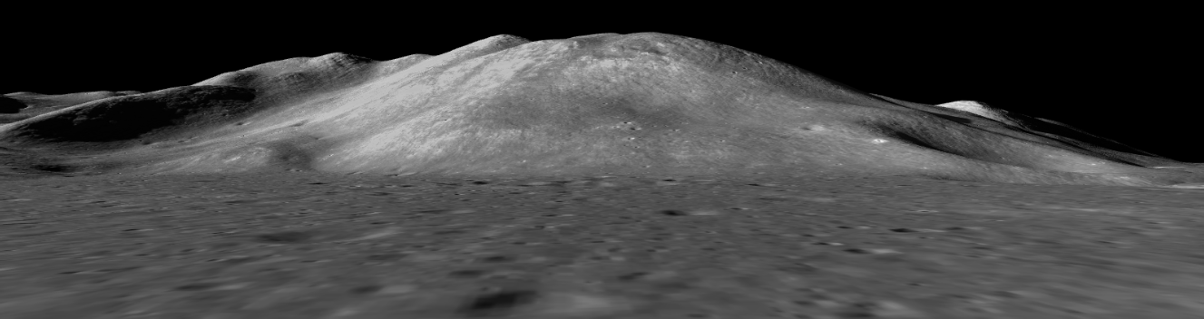
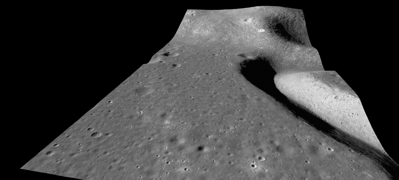
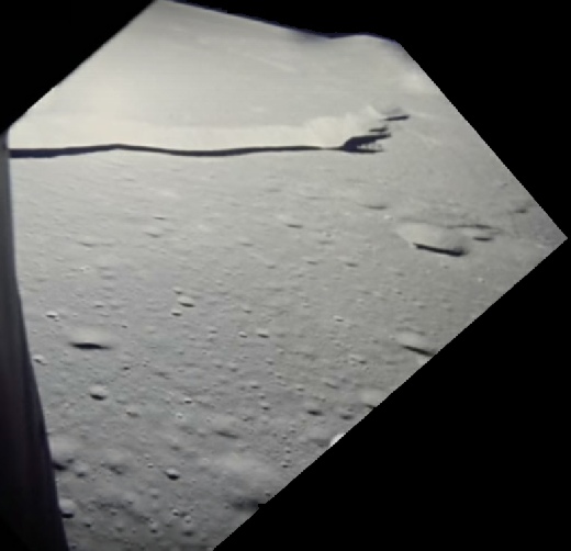
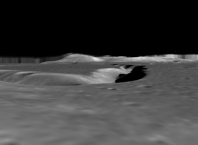
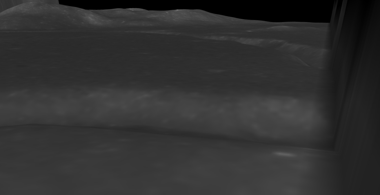
In the opposite direction is a small lump of high ground known as the northern complex, and in that complex is a crater known as ‘Pluton’. Here’s the view from LM during the SEVA.
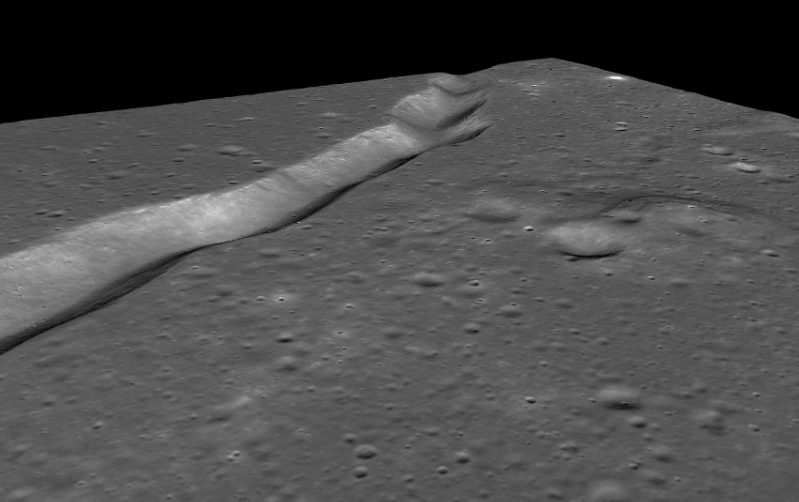
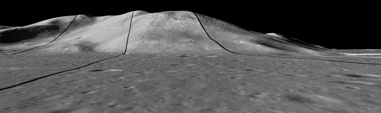
And here it is viewed on the LRO-
Notice all the rocks and craters that are in the correct place!
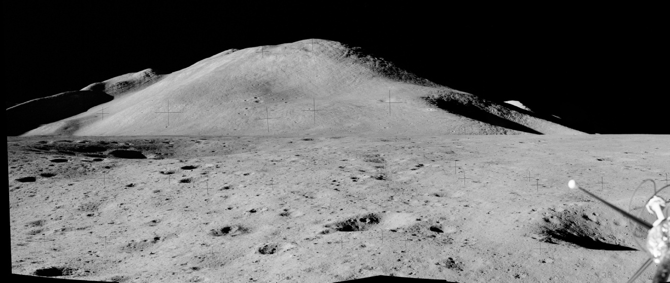
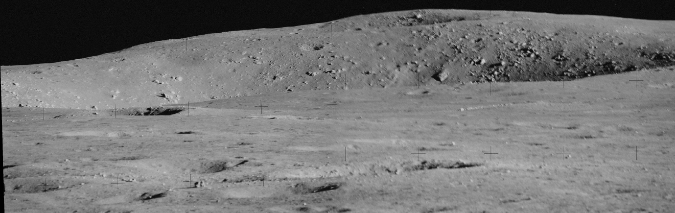
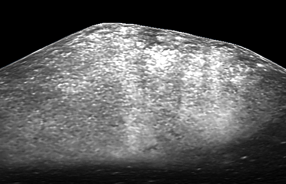
When the mission landed the wall of Mons Hadley was in darkness, but later on they were able to take a series of images that could be combined into a panorama showing it in detail.
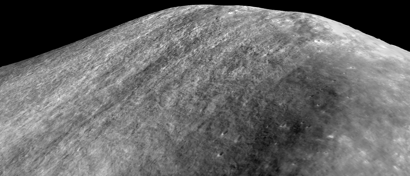
The best view of this wall is given by India’s Chandrayaan-
What is remarkable is the comparison between the Apollo and Indian images. It’s also worth noting that none of the images taken prior to Apollo 15 showed Hadley lit in this way.
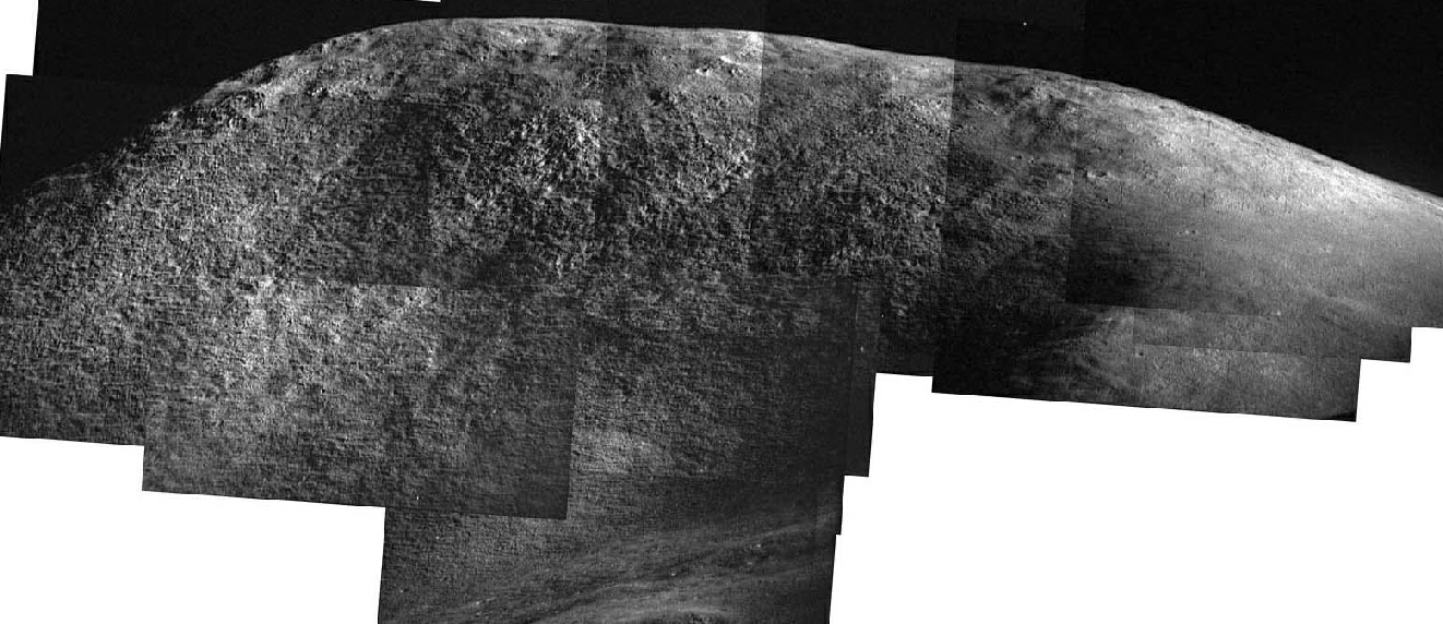
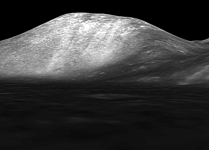
Japan’s view is not as well lit, but the surface markings are also well defined.
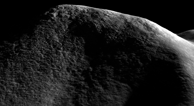
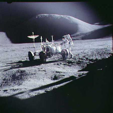
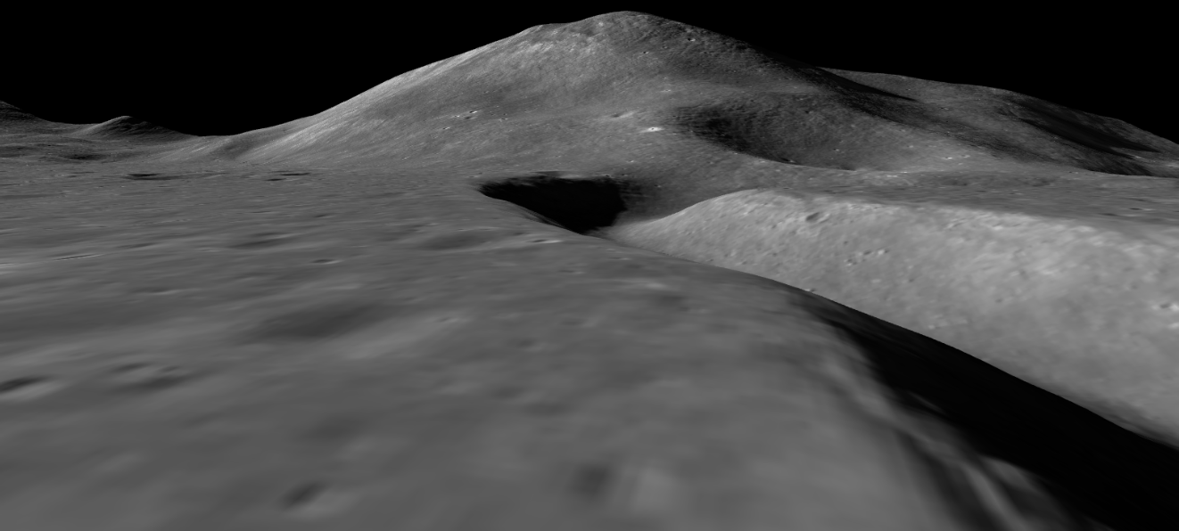
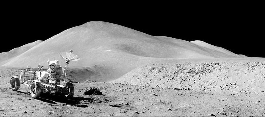
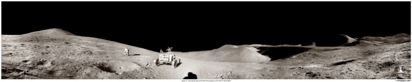
India’s view is immediately below. Japan’s view of the wall also does a good job of replicating the view seen in this famous image of the lunar rover (below left), as does China (below right).
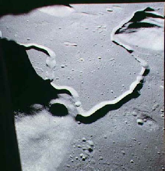
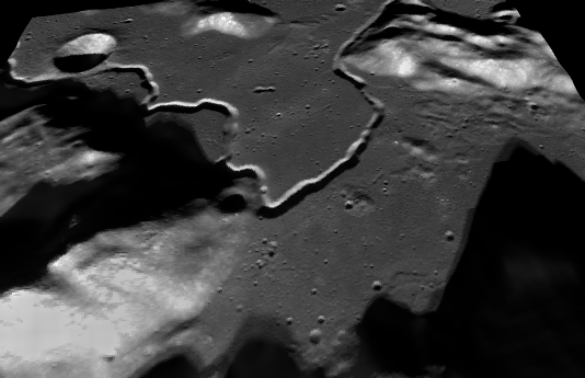
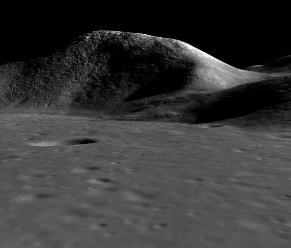
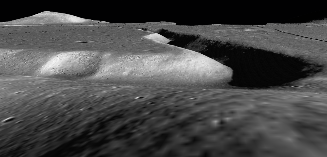
Aside from Mons Hadley the most spectacular feature in the area is, of course, Hadley rille, and the crew took some excellent close up views that we can replicate using the modern imagery available to us.
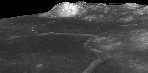
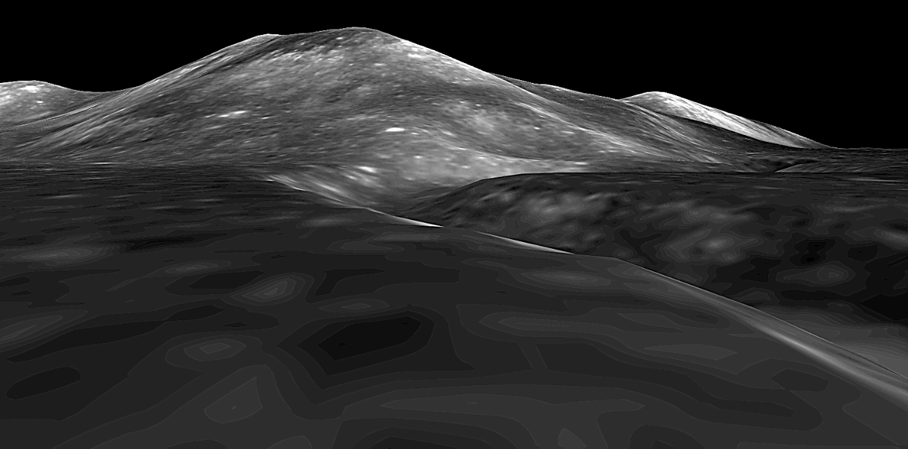
Here, for example, we have two examples of a view taken at the rille edge by Apollo looking towards St George’s crater (top) as replicated by Japan’s data (below Apollo), China (below Japan’s), and the LRO’s NAC camera (bottom).
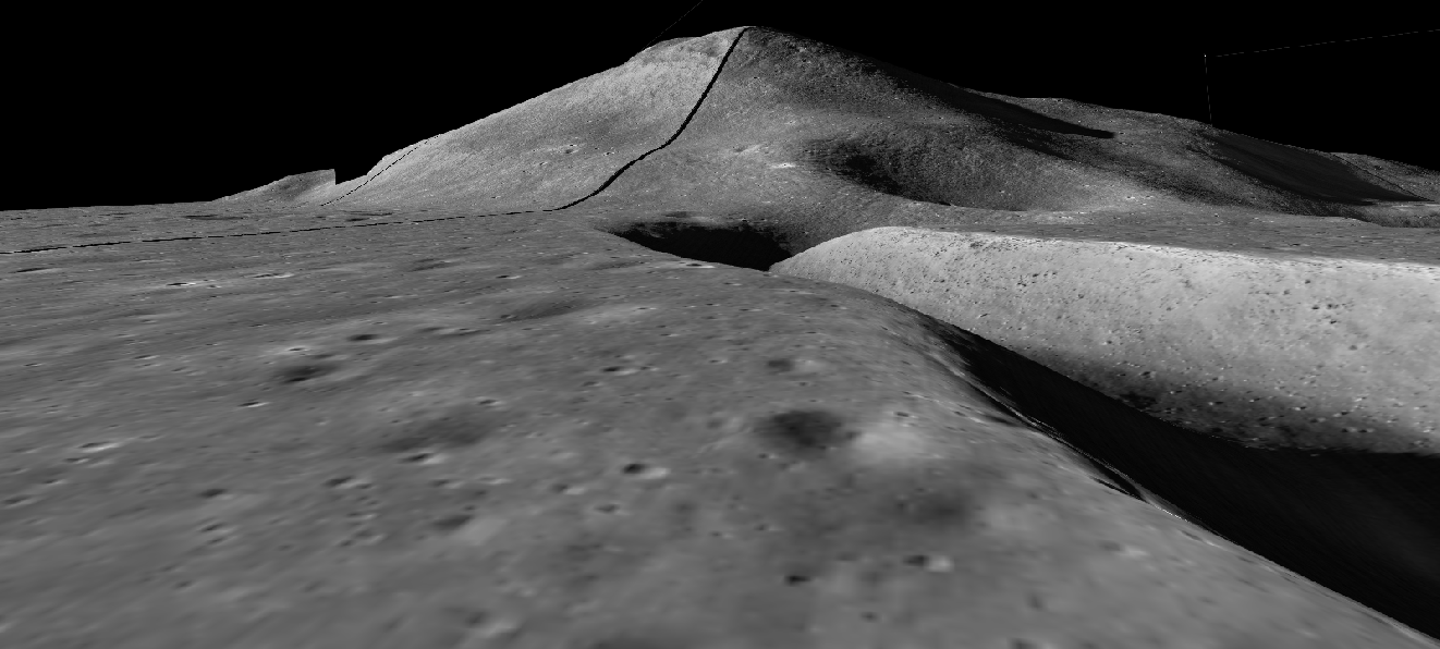
There was also a good view to be had in the other direction along the rille, as can be seen in this Apollo panorama (top) compared with perspectives from Japan (below middle left and right) and the LRO NAC (bottom).
I could spend much more presenting matching DEM images relating to Apollo photographs and film, but I won’t, I’ll just present you with the tools you need to do the job yourself:
Suffice to say that whichever model you use, whoever took the photographs, the views taken on the lunar surface by people are an exact match, and they are an exact match because they were there.
Now, some conspiracy morons can’t get their tiny minds around the idea that an orbital probe can produce ground level images, no matter how simply you explain it to them. So, to help those deluded people, here is a video I put together using a load of screenshots from the JAXA model.
Now China:
China’s view is not as detailed, but all the important features match up with everyone else’s.
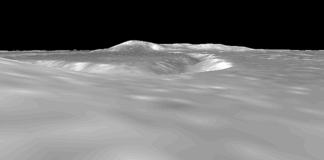
Chandrayaan-
Here we have a view of the site using India’s Chandrayaan-
Finally, here’s how Chandrayaan-
Both India’s probes allow partial reconstructions:
Because Chandrayaan-
Newly released Chandrayaan-


And finally Chandrayaan-


