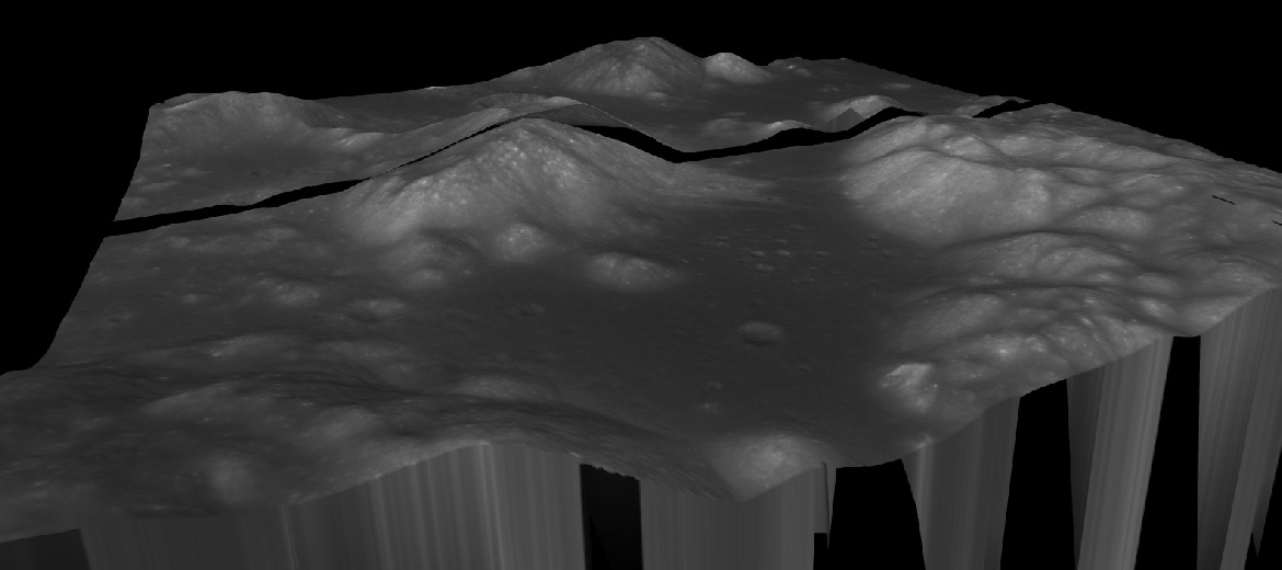
Apollo 17 in 3D
The Apollo 17 landing site between the north and south massifs of the Taurus-
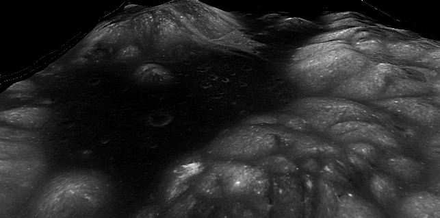
India, the LRO, China and Japan all capture the landing site with varying degrees of resolution. The LRO’s version consists of several different sets of images, which is why it has a patchwork appearance. Top left is a zoomed and cropped version of the Apollo image, top right the LRO, bottom left JAXA, bottom right China. At the very bottom left is a Chandrayaan-
By way of comparison I have overlain the best resolution pre-
Hopefully it should be obvious that the lunar orbiter model of the surface shows nothing like the detail that can be found in either the modern images or the Apollo 17 orbital photograph. Even the relatively low resolution Chinese image contains more information.
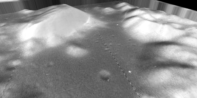
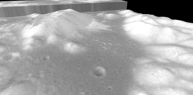
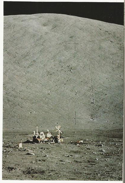
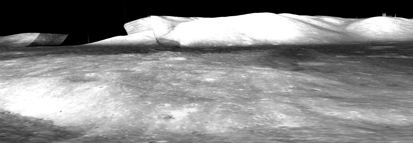
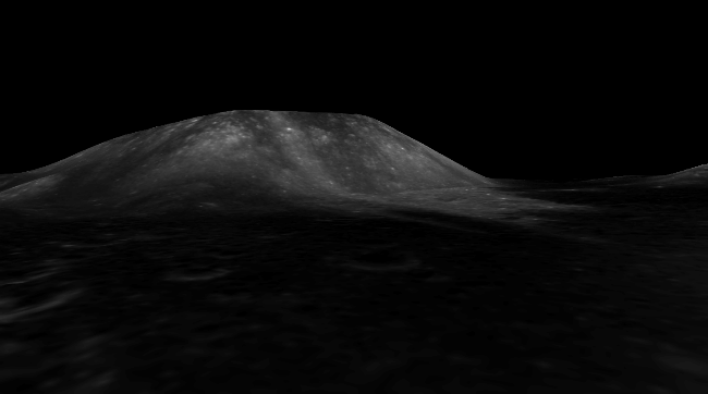
So, once you land what you do is take photos, lots of them, and with those photos you can construct a panoramic view of the landscape at ground level, and those panoramas can be compared with the 3D models. We’ll just use LRO, Chandrayaan, JAXA and Chinese views. Let’s start with a post landing panorama.
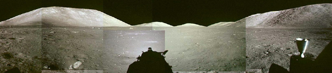
Despite gaps and spikes in the data, the views recreated using these DEMs are clearly the same as the panorama taken by the Apollo astronauts.
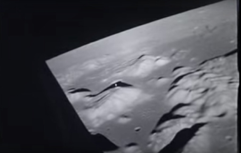
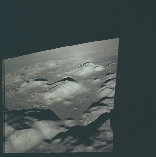
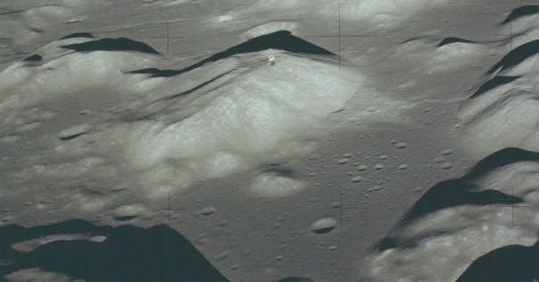
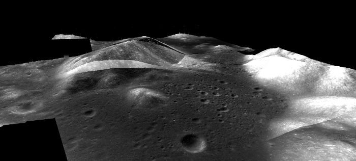
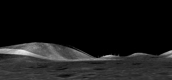
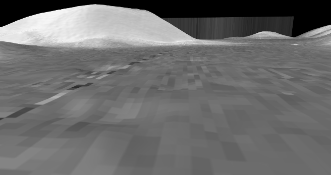
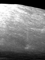
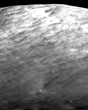
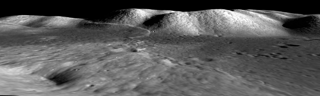
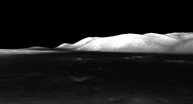
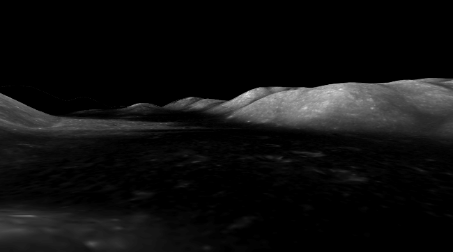
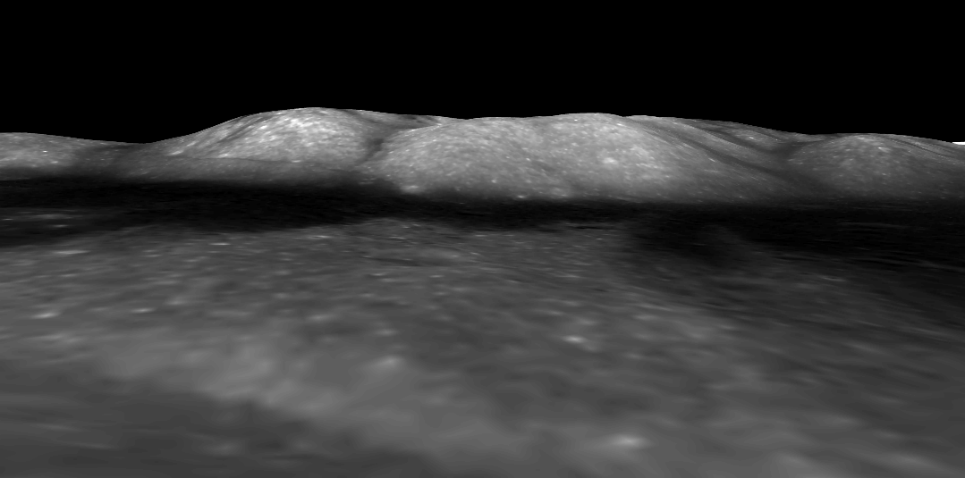
The Apollo crew took numerous other spectacular views of the area, and they can all be matched with the DEMs available. This view, for example, is of the north massif from the LM.
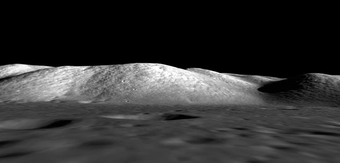
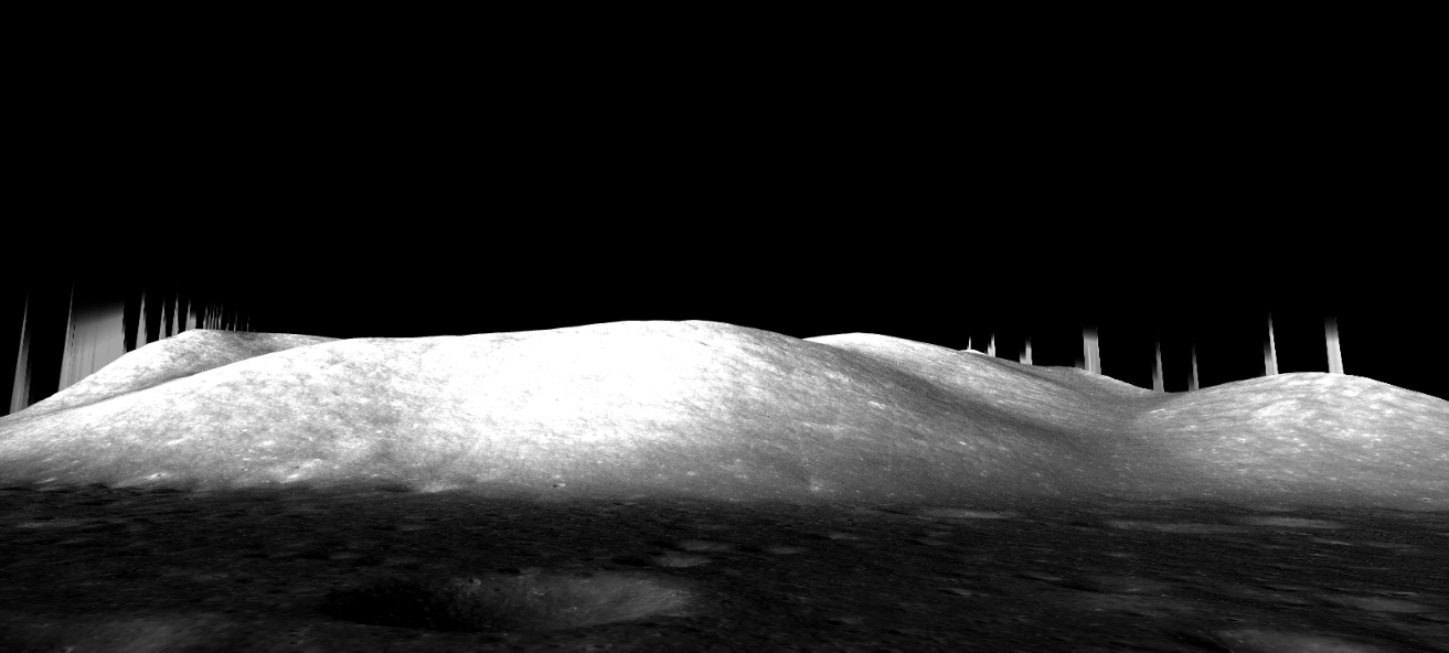
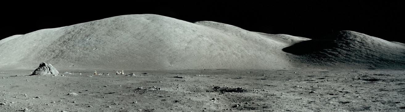
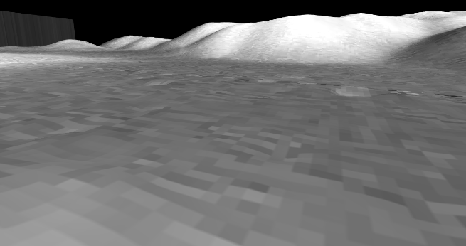
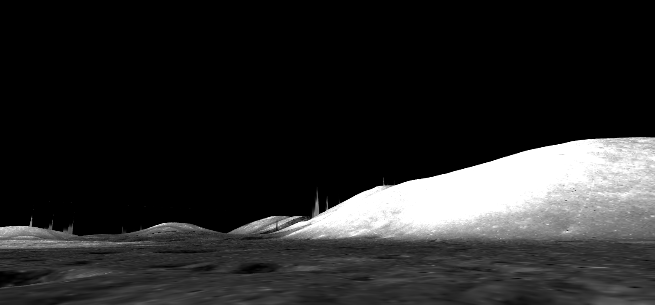
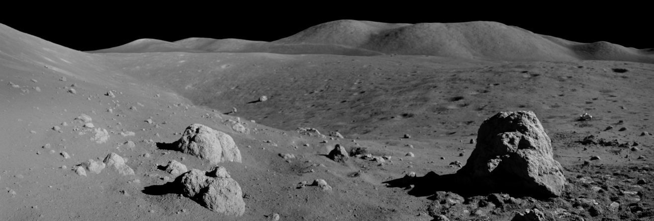
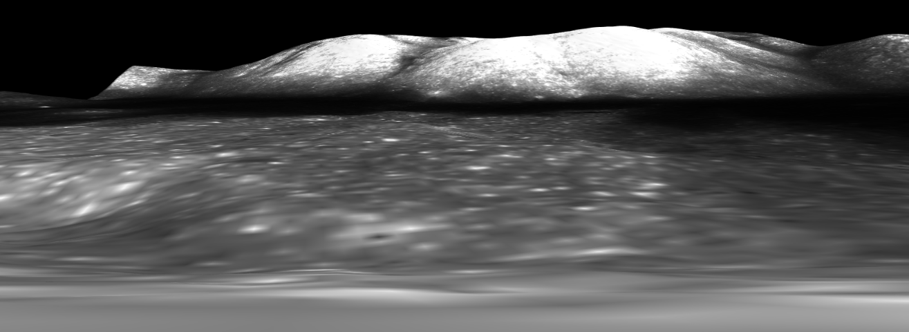
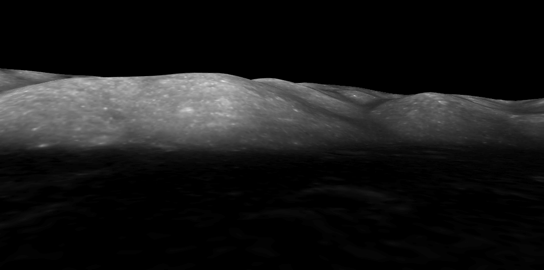
As usual an excellent representation of the scene in both of the modern probes. The rock on the right of the Apollo image is not quite large enough to have registered on the altimetry, which is why it isn’t obvious on them. In the distance, however, is a much larger feature that was spotted on Apollo orbital images, and which were photographed on the ground. Below left is an image that appeared in the 1973 National Geographic article on the mission and it shows the extensive boulder trail that ended in a large rock that they examined in detail later. Below left is the LRO view of the same area, centre is Chandrayaan’s and on the right JAXA’s.
The LRO boulder trail is clear, as it is on the Chandrayaan view. JAXA’s image is lower resolution, but the crater at the bottom of the hill can be seen clearly, and as can the point where the trail ends. The pattern if the ground at the top of the massif is also easy to make out in comparison with the Apollo 17 photograph, as well as the terrain around the crater at the bottom of the hill.
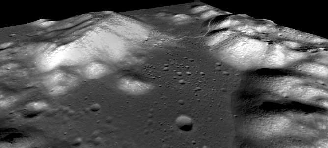
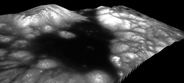
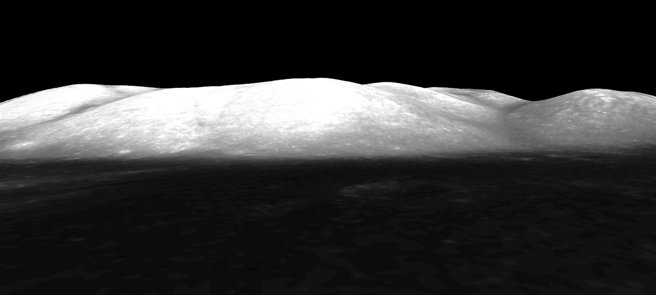
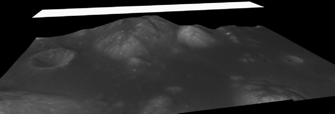
Across the valley from the north massif, and at the foot of the south massif, is a trench like feature known as Nansen, shown here.
Here’s how that looks in the JAXA, LRO, Chandrayaan and Chinese models.
Patchy data aside,all the views are in complete accord with the Apollo image.
The Apollo landing site at Taurus-
 Apollo Overview
3D Overview
Apollo Overview
3D Overview
As with Apollo 15, we can combine both Chandrayaan probe views into a single model: