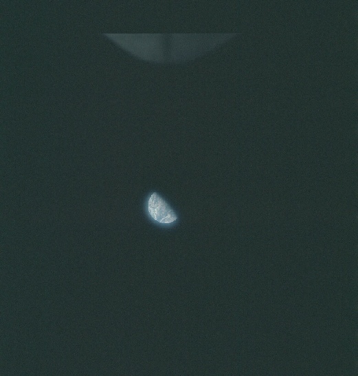
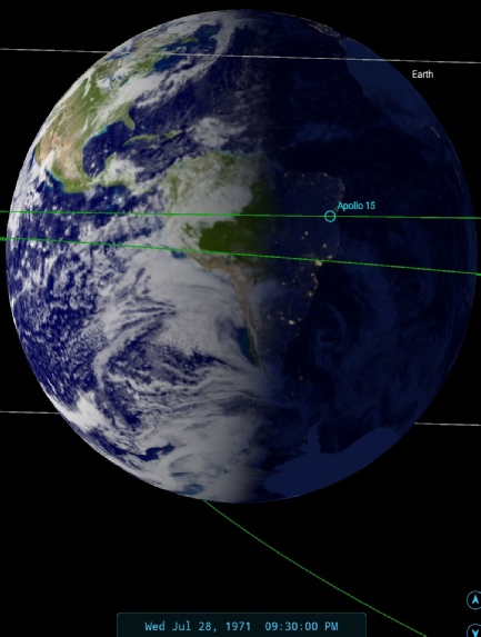
The weather systems shown in the Apollo image match, as usual, those visible on the satellite image but this is not the only story. Hurricane Hilary is still visible on the Apollo image, and the sub-equatorial cloud in the southern hemisphere is also still present, albeit in an evolved form.
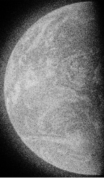
These two features can not, however, be seen on the satellite image as there are large sections where data are absent. This will be discussed momentarily, but first there are some formalities to be attended to: SkySafari puts the terminator line at around 21:30, and the satellite image that most resembles the weather patterns in the Apollo image is from the 28th, so at around the time the Apollo astronauts were taking photographs inside the LM, there is a photograph of Earth. In all probability it is taken from the LM.
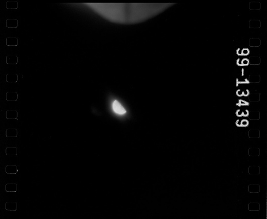
The presence of a companion UV photograph again allows us to be more certain of the time, with these exchanges in the transcript:
055:43:48 Henize: Okay. You're Go to maneuver to UV photo attitude.
053:43:56 Scott: Okay. On the way. Thank you.
055:58:18 Worden: Okay, Karl. We're through with the UV photos, and the window number 5 is still clear.
That time of 55:58 equates to 21:32.
The UV photo is obviously taken at the same time as the colour photographs, and while the AFJ suggests it is the first UV image taken in lunar orbit, the oribt insertion burn for that does not take place for another 22 hours or so )(78:31:46 GET).
ESSA's most complete orbit for the Apollo image is number 1023 (track 4) commenced at 20:04. The similarity between ESSA and Apollo's images of Earth is again a product of their being taken at roughly the same time – one from the vantage point of over halfway to the Moon, the other from LEO.
What needs to be addressed now is the issue of the missing data in the image. In doing this, it is worth refreshing our memories as to how these images were collated. The introduction to the data catalogue describes how:
“The digitized cloud maps that appear in this catalog are prepared by a high speed digital computer. In this process the signals comprising the picture taken by the satellite are assigned numerical values to indicate the relative brightness of each element. These data are normalized brightnesses, earth-located and repositioned in a standard map projection. Magnetic tapes are produced for input into a cathode-ray-tube film-display device.”
Each individual image is loaded from magnetic tape, recorded from the signal transmitted by the satellite, transposed into its correct position on a globe, and then placed on a kinescope for photographing.
As part of that process:
“In some instances, blank areas and mislocated clouds appear on the digitized cloud maps; these are caused by irregularities in the computer operation and should be disregarded.”
And:
“Day to day variations and irregularities which result in improper location or display of the data are apparent in this catalog. At present, inadequate computer facilities prevent any effort to reformat the mosaic on an after-the-fact basis. Some inconsistencies are related to photography and printing problems.”
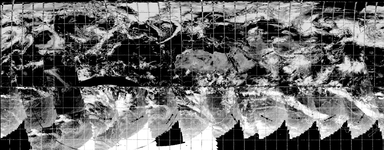
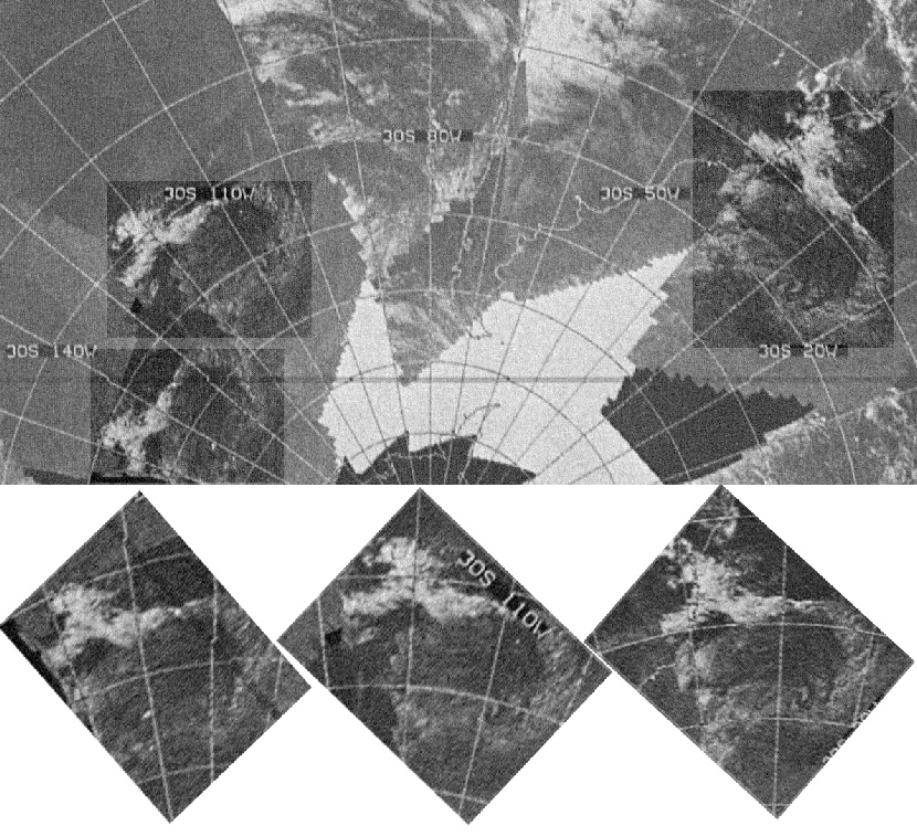
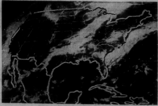
This has obviously happened in the case of the ESSA image used in the preceding analysis. Large chunks of the image over the Pacific are blank, and there are no clouds marked where there should be some. There are also some very sharp boundary lines within south America that suggest missing data, but often such areas represent differences in contrast between parts of the mosaic.
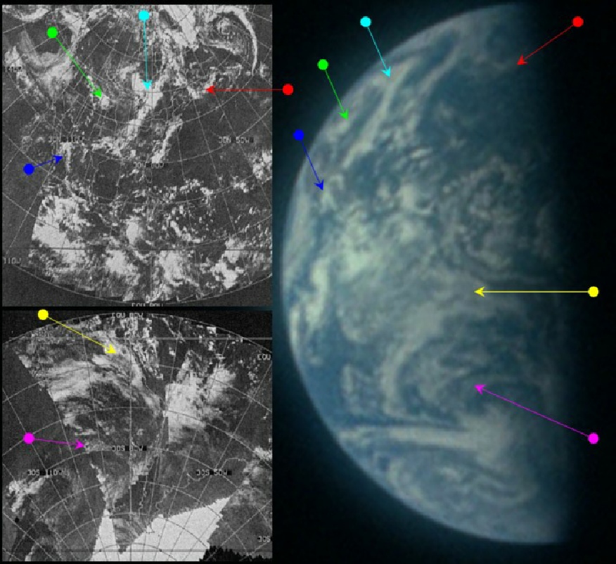
Figure 4.7.3.3 indicates an area where there are misplaced clouds. There are 3 areas in the region of south America that show the same curl of cloud with a bifurcated ending – two in the south Pacific and one off the Argentinian coast. Evidently something has gone wrong in the process of positioning the images, or the tapes themselves may be corrupt, or the satellite transmission may have been interrupted. Whatever the cause, there should be only one of them. Examining the satellite mosaic does not reveal any real insight as to which is the correct, and there is insufficient coverage by Apollo images to suggest where they might be from.
Evidence of fakery? Manipulation? Hiding of data? This will no doubt be alleged by conspiracy fans, but the preface to the data catalogue points out that there are some days with problems. Some of these days fall outside Apollo mission days. The easiest thing to have done would be for ESSA to have not released this day's image, rather than use computer technology that didn't exist to try and fake an image. What can be deduced is that the experienced eye can identify issues with data and recognise where problems exist.
The easy path here would have been to pretend there was no problem, when clearly there is, but problems with some parts of the data do not invalidate those areas where it is completely transparent that the Apollo image and ESSA match. If anything, it re-enforces the idea that the technology to manipulate these image did not exist at the time they were taken, and that no manipulation has been carried out on them since. It also shows the importance of looking at evidence carefully, and using judgement and deduction to arrive at a conclusion.
We now have a substantial gap in Earth imagery - the crew have other things to do, and we resume the story on calendar day 5.