4.7.12 - Apollo 15 Day 11 onwards - Homeward Bound
We have a couple more Earth images to examine, but it becomes more difficult to derive any meaningful analysis from them thanks to the increasingly thin size of the Earth crescent. The Hasselblad photographs are not rwell documented, but there are UV photographs taken, it is believed, at the same time - and we rely on the judgement of the AFJ here. The first photograph taken is actually part of that sequence of UV photographs, for which the companion Hasselblad (AS15-96-11303) is too over-exposed to be of use. Figure 4.7.12.1 has the details.
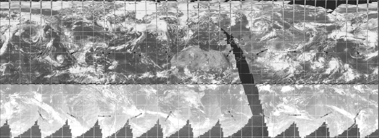
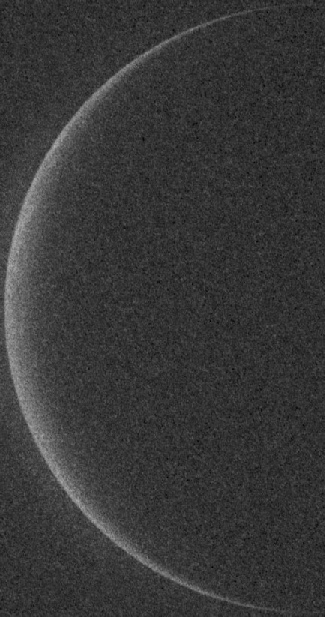
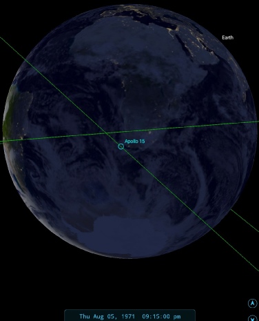
Figure 4.7.12.1: AS15-99-13480 and SkySafari depiction
It isn’t possible to extract any discernible detail from the UV image. The time for the photography sequence has been determined from the transcripts, where they move into the correct attitude for UV photography (they needed to use a specific window).
The next of UV images does have an accompanying Hasselblad, and we can see if more detail is available to us here, see figure 4.7.12.2.
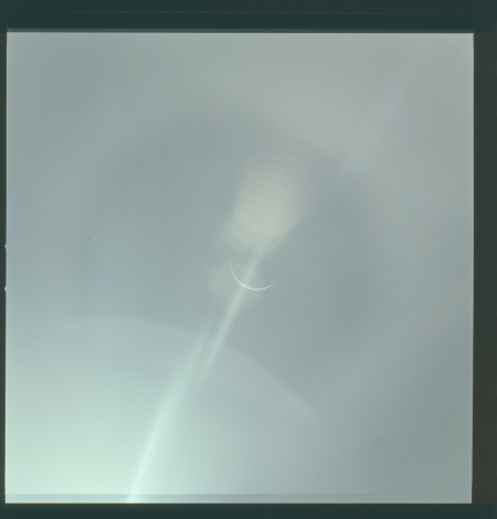
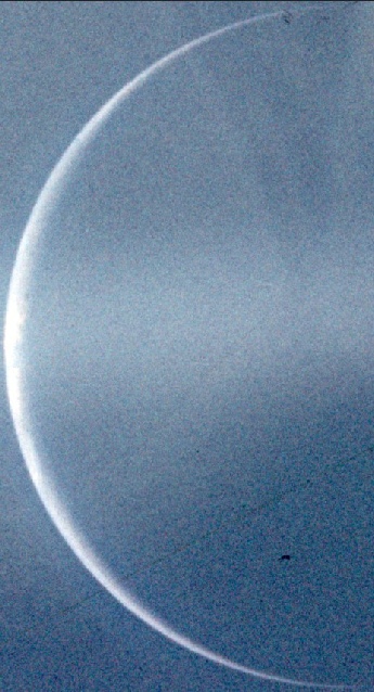
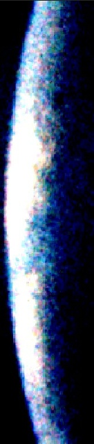
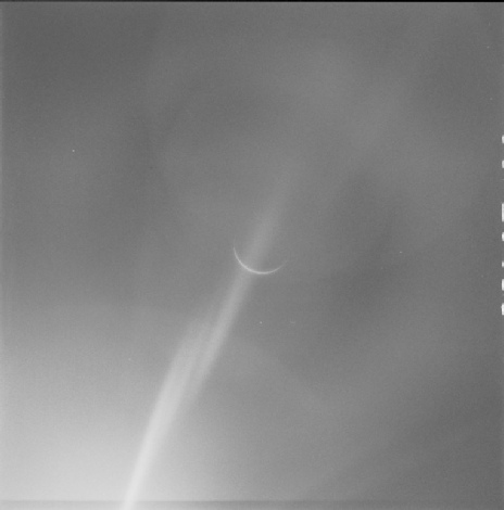
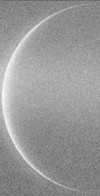
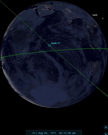
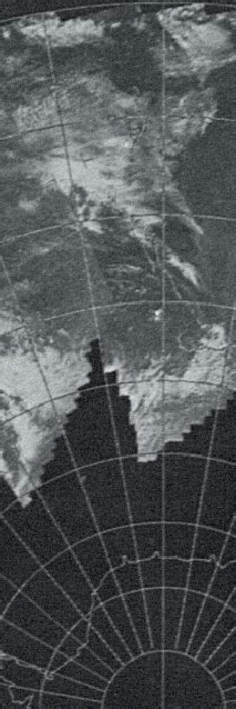
Figure 4.7.12.2: AS15-96-13104, AS15-99-13488, SkySafari time depiction. Close up and extreme close up of the two Apollo images and satellite view from 06/08/71
As with the previous photographs, there’s not much for us to go on other than knowing when it was taken, roughly 18:15 on the 6th. Really forcin gthe level adjustment on the Hasselblad photograph does suggest some cloudy formations around the area of African coast that would bare also present in the satellite image, but it wouldn’t be wise to make any definitive claims. It is, as always consistent with what should be visible.
The limiting time on this image is the lunar eclipse photographed, and broadcast, by the crew at 20:34 on the 6th. Figure 4.7.12.3 shows close ups of several of the photographs taken during it, as well as the position of the spacecraft during it..
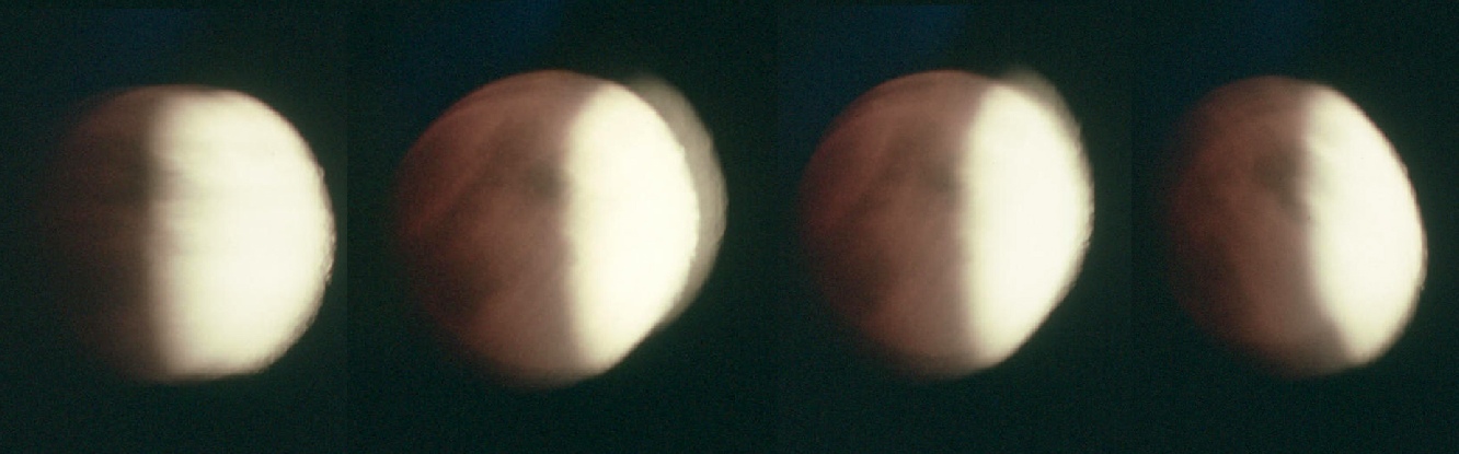
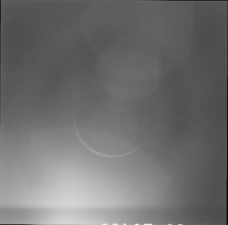
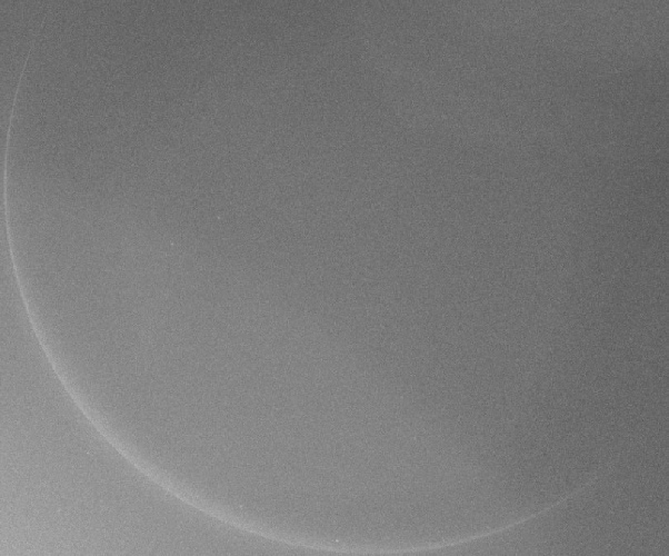
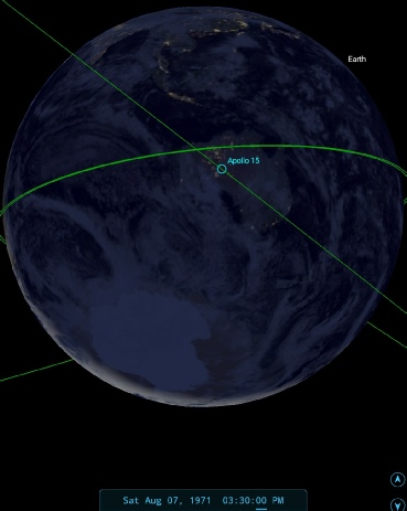
Figure 4.7.12.3 Crops from AS15-96-13106-13109, showing lunar eclipse in progress, with SkySafari depictions.
After the eclipse images we have a series of Earth photos that aren’t matched with UV images, a final series of which occur at around 15:30 on the 7th. As we’ll see shortly, the size of the Earth in this sequence is midway between the two UV photography sessions, so we have a couple of options as to when they might have been taken. Let’s see those options in figure 4.7.12.4.
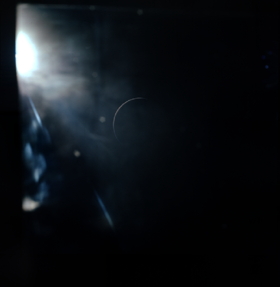
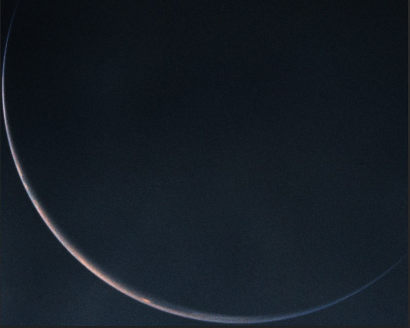
Figure 4.7.12.4: AS15-96-13135, cropped and oriented to match SkySafari representations and ESSA satellite photograph from 06/08/71 (nearer in time terms to the suggested photographtimes).
Figure 4.7.12.4 shows two SkySafari depictions. On the left we have the time at the lunar eclipse. The Earth sequence occurs after the lunar eclipse photographs, so it might seem reasonable to have some comparisons of Earth to go with it. On the other hand, we have this statement from Al Worden:
275:50:55 Worden (onboard): I'll take that and get this - Going to use the camera.
While we have no indication as to what he was photographing, or with what, he clearly intended to take pictures of something! The SkySafari depictions show that we should be looking at a crescent of the south America or the South Pacific. The is a clear bright spot of cloud at around the widest point of the crescent and alternating dark and light patches to the north of that. The satellite image is inconclusive, as there is a band of cloud across the southern tip of South America that extends into the southern Pacific that could apply to both scenarios. If I had to choose, I’d go for the later time.
The best we can safely conclude here is that the view of Earth is consistent with what we should be seeing (in terms of the illuminated crescent and size in the image), that it shows the presence of cloudy and clear areas, and that it was probably taken late on the 6th or early on the 7th.
The final colour image of Earth is at least accompanied by UV images, so we can be a little more certain as to when it was taken (figure 4.7.12.5.
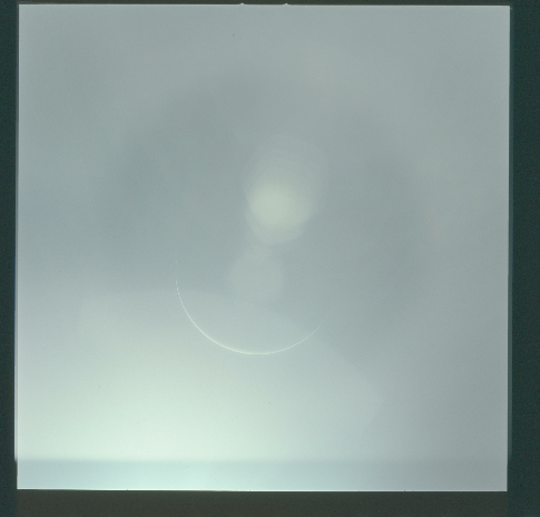
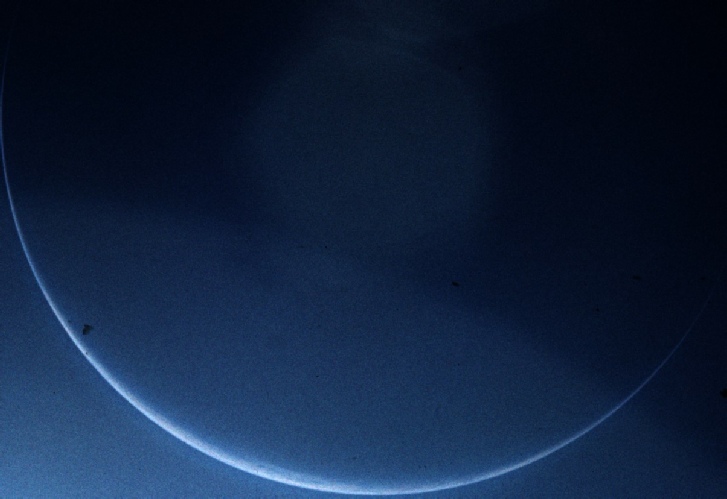
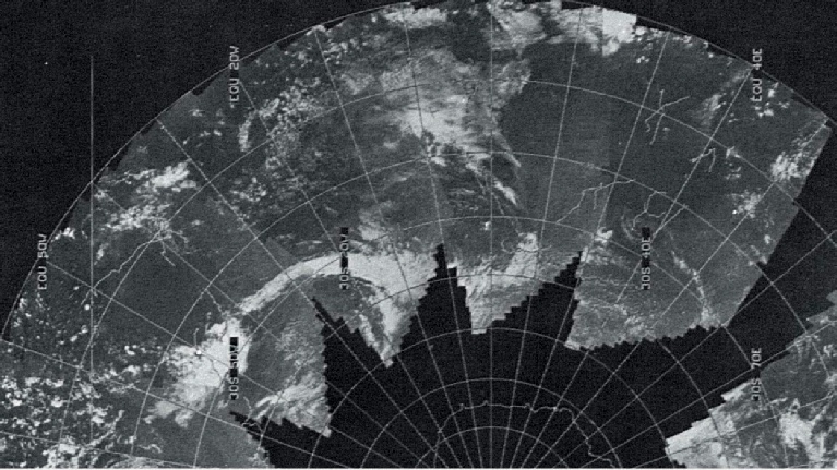
Figure 4.7.12.5: AS15-99-13496, AS15-96-13136 and SkySafari depiction.
The view presented to the astronauts at the time of the UV session means that the widest part of Earth’s crescent is showing the southern Atlantic not far off Antarctica, which is not shown in the satellite imagery. Again, all we can do is state that the view is consistent with that which would be expected.
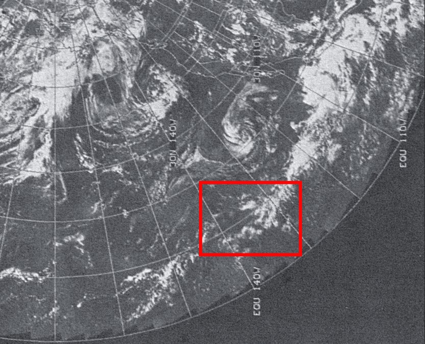
As with other Apollo missions, the final view of Earth comes from the 16mm footage taken during re-entry. Figure 4.7.12.6 has the details.
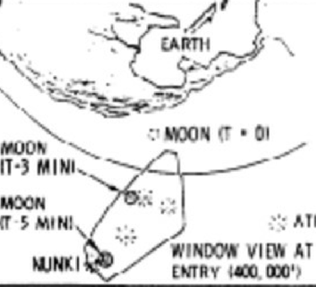
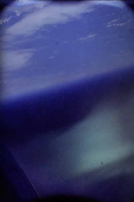
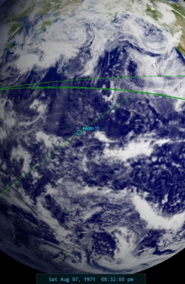
Figure 4.7.12.6: Still from 16mm footage, oriented to show the correct viewpoint, with ESSA satellite image dated 07/08/71, SkySafari depiction of re-entry position, and cropped view of CSM window view from here.
The footage is taken in a mirror out of the right hand CM window, which would mean that it is looking roughly southwards as it heads towards splashdown (hence the orientation used above). My estimation (and it is purely that) would be that the cloud mass they can see is within the red square on the satellite image.
There we have it, another mission over and done with.
As with Apollo 14, the latter half of the image is difficult in terms of identifying specific weather systems in the satellite images, but certainly the views in the first half of the mission are absolutely correct. All of the images match the timeline given, and the views of the diminishing Earth crescent are entirely consistent with the mission profile.
The remaining section here will have a brief look at some synoptic charts - click the link below to see that.