4.6.0 -
Following Apollo 13's near disaster, it took 9 months for NASA to re-
The mission timeline can be found here http://history.nasa.gov/SP-
During the mission, 1342 images were taken on 15 magazines, but the vast bulk of these were taken on the two EVAs, and also of the Descartes region, which was an area deemed of sufficient interest to help move the landing site from Littrow, the orbital parameters for which would not have allowed Descartes to be observed.
Like Apollo 12 before it, the location of the landing site towards the western limb of the lunar face (as viewed from Earth) means that for there to be a reasonable amount of daylight to be available, the moon would need to be ¾ full, which also means that the Earth needs to be ¼ full by the time the astronauts land, and this limits the number of useful photographs available for this analysis.
In fact, very few images of Earth were taken at all during this mission, and some of those are of very poor quality, possibly a product of a problem with one of the Hasselblads that prevented its use. A number of NASA affiliates were approached to find better quality copies of those currently publicly available, but unfortunately only the same standard of image was made available.
As for what satellite data are available ITOS 1 images are available from here: ITOS 1. ITOS 1 was launched on 23/01/70, and occupies the same orbital tracks as ESSA satellites. The introduction to the ITOS data collection describes its operation. NIMBUS 4 had become fully operational by this time, data for which can be found here NIMBUS 4.
ATS satellites had, by now, finished their regular visual imaging programme and are unavailable.
Occasional images from satellites can be found in journals and other publications covering this period. This journal article contains a much clearer ITOS image from the day of Apollo 14's splashdown, as well as a synoptic chart. A February 4th ITOS image is also available in Satellite Activities of NOAA 1971. The Mariner's Weather log also contains an image from the 8th: Weather Log. As with previous sections, these are given more as an indication that the information presented here has always been available, should diligent researchers have cared to look for them, rather than an indication that they will be used.
Another interesting document is Weather Support to the Apollo 14 Mission from September 1971, which describes the role of weather forecasters during the mission (the launch was delayed thanks to bad weather). It also features synoptic charts and ITOS & NIMBUS images from during the mission. This document describing how satellite images can be used in weather forecasting also has images covering the mission, but again they are of little use. 3D reconstructions will be used where appropriate and where the data are available. The header photos of each day’s analysis are scans from my own copy of the NIMBUS satellite data compilations (figure 4.6.0.1).
The results given here should in most cases be regarded with a degree of caution. More enhancement of the images is required than has been the case so far, and where possible the l1.3Gb raw scans from ‘March to the Moon’ will be used to get the best detail. The procedure is rendered even more difficult by the absence of images from the 6th (neither hemisphere) and 7th of February (southern hemisphere only) in the ITOS 1 record, which means that for much of the period when photographs were taken, only the less clear NIMBUS images are available.
In the end, it was determined that only 4 days were covered by identifiable images of Earth, the 5th to the 9th of February.
Given the lack of images with clear views of Earth, no synoptic charts will be examined.
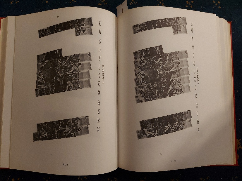
Figure 4.6.0.1: My own copy of the NIMBUS 4 Catalog of Meteorological Data, formerly owned by Glasgow University Library