4.6.6 - Apollo 14 - at the moon
Unlike previous missions, no images were taken of Earth until the craft was in (or very close to) lunar orbit. This combines with the fact that those images that are available are of such a narrow Earth crescent and and/or of poor quality that it is very difficult to carry out any meaningful analysis on them. There was a TV broadcast made on February 3rd that was initially thought to show Earth, but as the transcript clearly states it’s of their intended target. Figure 4.6.6.1 shows a screenshot of that broadcast.
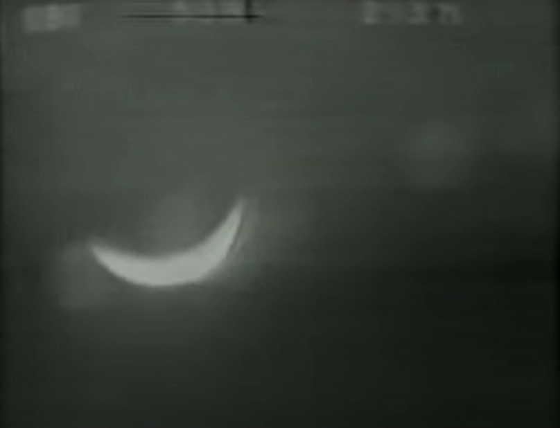
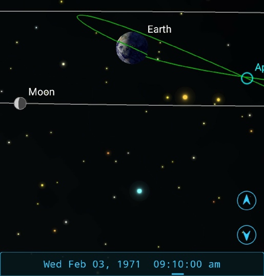
Figure 4.6.6.1: TV broadcast still and SkySafari depiction of the mission at the time of broadcast.
While the view looks like it could be Earth, it needs to be remembered that from the crew’s viewpoint Earth and Moon are showing the same phase, as indicated in the SkySafari depiction. The transcripts confirm it, saying:
060:45:45 Mitchell: Roger. I think we'll have just a little bit more light once this hatch gets out of the way. We have all of our floodlights on full right now. While they're doing that, let's slide out to the CDR's window and take a look at the Moon, which happens to be right out the window.
Having reluctantly discounted that view, we are left with images that were taken either on the surface or in lunar orbit.
The first of those is AS14-66-9288 (figure 4.6.6.2) appears in a magazine that was taken to the lunar surface but is obviously of an Earthrise from orbit, and immediately after photographs taken from the LM showing the CSM. It must therefore have been taken after the 04:50 on the 5th when the two craft separated but before touchdown at 09:18 on the 5th. Shortly after separation at 05:23 the crew flew over the landing site (see the voice transcripts held here: ALSJ), which means the earliest it is likely to be is the start of orbit 13 and AOS at around 06:40. The start of orbit 14 is at roughly 08:00, and this is in all likelihood the last opportunity to image as the next orbit around sees the crew in descent mode and somewhat occupied! During this narrower window Australia comes in to view, and it is off its east coast that weather patterns will be searched.
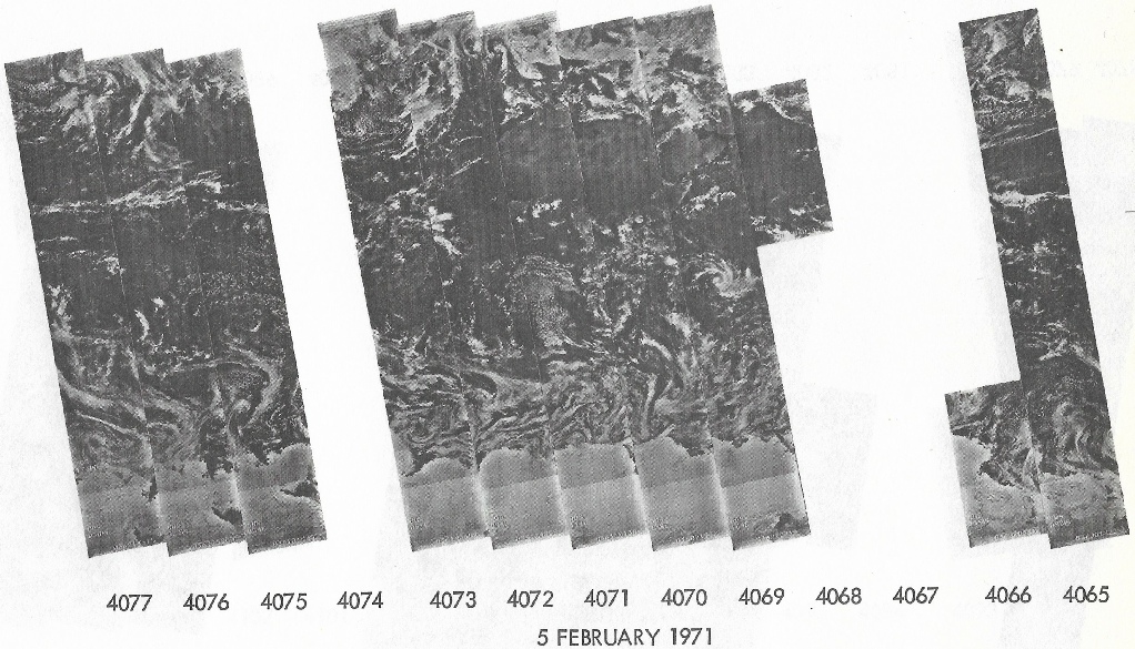
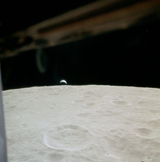
Figure 4.6.6.2: AS14-66-9228. High resolution version available here
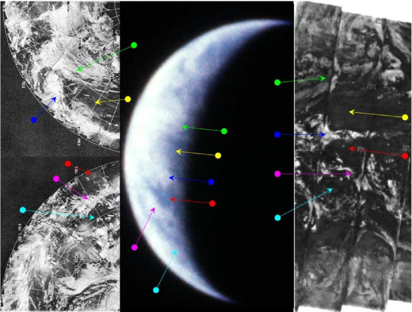
As far as confirming timings, the ITOS images follow the same pattern as ESSA and an image dated the 4th will pass over Australia on the 5th. The most appropriate track for the area covered is number 8, which corresponds to orbit 4725, commenced at 04:09. The best coverage of the region by NIMBUS 4 turned out to be the night time IR images, as these were the only ones that covered the area completely (daytime IR and visible spectrum ones give incomplete coverage). On the image dated the 5th, the most relevant pass is number 4071, which was commenced at 11:48.
The mission's Preliminary Scientific Report (Source) confirms that this image was taken 1 orbit before landing, and the Photographic index (ALSJ) states that it was taken on orbit 14, which started at about 09:00 on the 5th. The ALSJ itself, however, suggests that this sequence is from Rev 14, immediately before they start the descent.
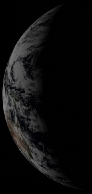
As an aside, Venus is also recorded in the Earthrise sequence (see here) and an analysis of its position here shows that it is consistent with this timing (see figure 4.6.6.4).
Figure 4.6.6.4: Celestia reconstruction of the position of Venus at AOS on Rev 14 (left). Right is the same image with the photograph identifying Venus from the ALSJ document identified in the text.
The position of Venus clearly matches with what should be visible. Had it been taken on an earlier orbit it would not have matched.
Despite the caveats mentioned earlier, the images do show broad scale features visible on the satellite images. They may not be as clear as those analysed in previous sections, but the logic used to determine which part of the Earth to look at and the features themselves seem to provide a good match. It is important to re-iterate that nothing has been added to the image of Earth during enhancement. Close examination of the original Earth in the photograph shows the same features, they are just masked by an overexposed image. SkySafari confirms that they are in the right place at the right time, and the 3D reconstruction (although arguably not rotated enough) confirms the view.
The reader is, as always, invited to repeat the process undertaken to check that this is the case.
That’s it for this day, click the links to get the next available view of Earth.
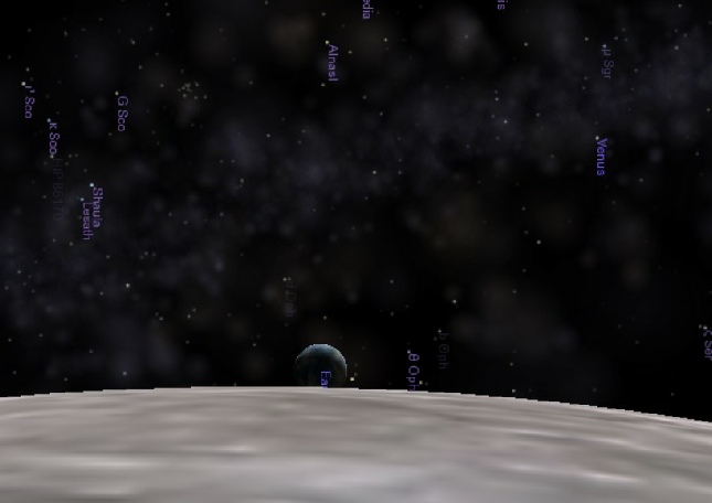
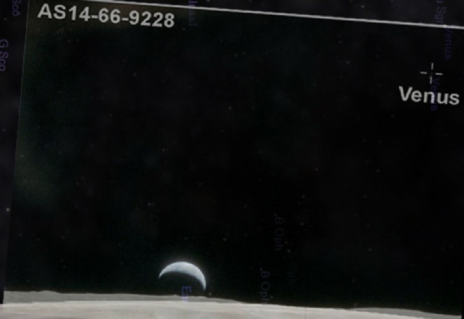
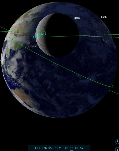
Figure 4.6.6.3: AS14-66-9228 compared with ITOS (top & bottom left) and NIMBUS (right) night time IR satellite images. Left is a 3D reconstruction of digitally restored ESSA data and SkySafari depiction. Clouds and clear patches are both identified.