Orbital Images
OK, so, the conspiracy theorists two main lines of argument are pretty much trashed by the preceding sections. They often claim that the landing sites were created on Earth using imagery from earlier probes. We have pretty much demonstrated that this is not true. Of course they will make up some more nonsense about the real images being hidden in a secret vault somewhere, but this is (not to put too fine a point on it) bullshit.
The simple fact of the matter is that the Lunar Orbiter views are good, but they are not good enough, and once the Apollo missions began orbiting the moon these became the primary source for photographs of the landing sites. Apollo photographs are the only source for some areas, and it’s pretty stupid to claim that Apollo photographs were used to fake Apollo missions.
The conspiracy loons will also claim that the Apollo hardware and the astronaut footpath and vehicle trails have been somehow Photoshopped into the LRO views. Well, in order for this to be true not only do they have to have manipulated images of the mission evidence, they also have to fake every single crater and rock, because we have so far established that any crater or rock over (say) a couple of feet across pictured in an Apollo photograph or video can also be picked out in the LRO view. Not just one LRO view, but several, because most of the landing sites have several different views taken at different times in the lunar day.
We can hammer this point home even more by picking other images from Apollo missions, this time from orbit, and seeing how the details compare with LRO and LO views.
In each case I will pick the smallest possible Apollo photograph (in terms of the areal extent that it covers). I’ll also pick areas that are not visible vertically from Earth -
As it’s a very good place the start, we’ll start at the beginning, Apollo 8. The image I have chosen to use is AS08-
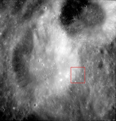
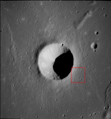
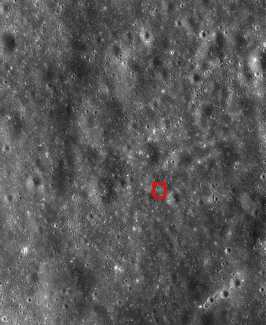
To make life even more interesting, I’m going to zoom in to the Apollo photograph and pick a very small area to work on, and that area is outlined in red. It covers an area roughly 500m wide.
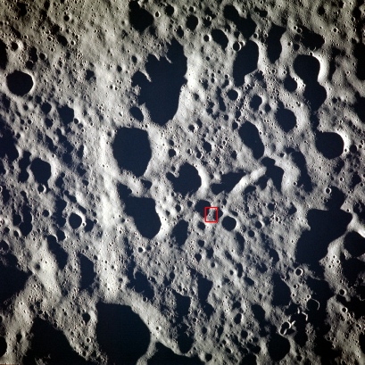
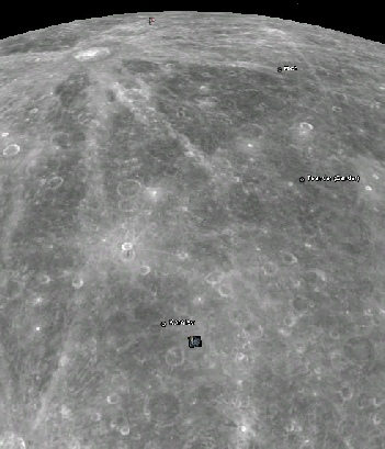
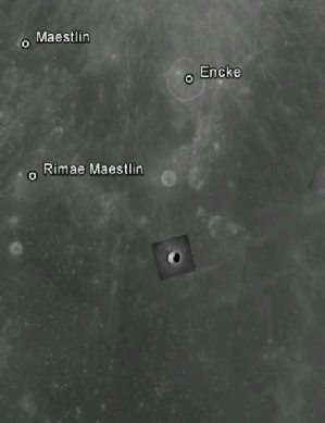
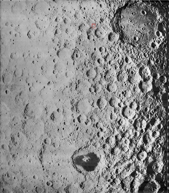
The photograph covers part of Korolev crater, a much larger feature on the lunar far side (and therefore not visible from Earth). As the lunar far side was first imaged by the then Soviet Union, many craters in that hemisphere are named after Soviet scientists, politicians and other luminaries.
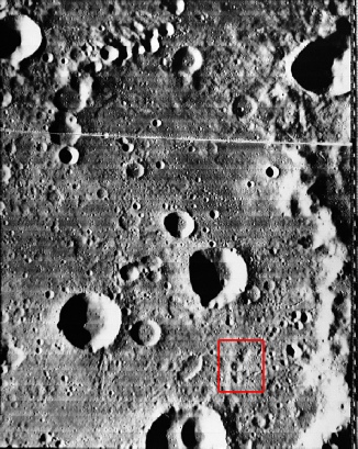
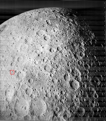
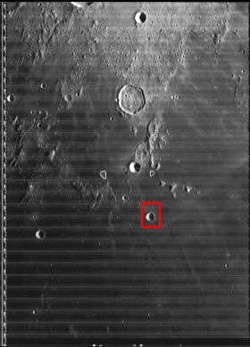
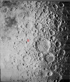
The crater was imaged by Lunar Orbiter 1, and a high resolution image of it can found here.
It is shown on the right above, with the area covered by the entire Apollo image outlined in red.
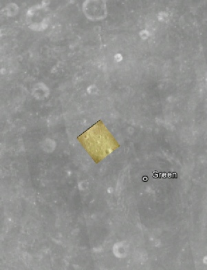
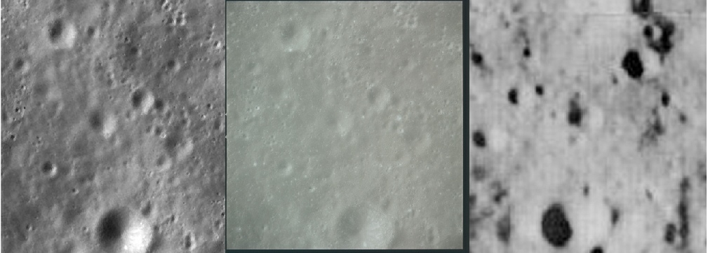
So, what does the area outlined in red on the Apollo image look like when compared with the LRO depiction of the same area (taken from a screenshot on this site) and the LO photograph?
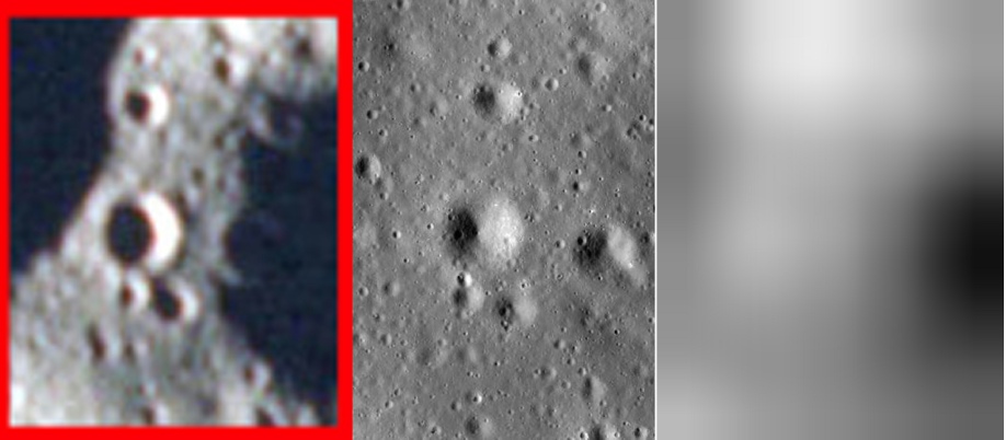
We can even go one better on this mission. India’s Chandrayaan passed over the same area in 2009 on orbit 885 of its mapping mission. The Terrain Mapping Camera (TMC) captured the same area. In order to get the same image I’ve used you’ll need to register, so there is no link provided, but you have all the information you need there to do it. I’ve used the full sized TIFF image (originally 5Gb) to get this view.
Let’s have a look at the same broad region and then the area examined from the Apollo 8 image, I’ve added an animation to show that it’s the same spot!
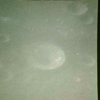
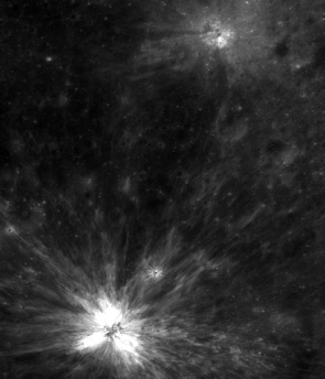
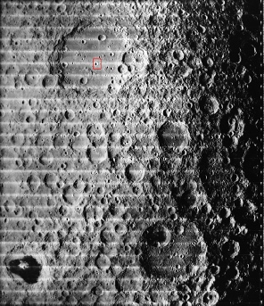
So, let’s see how Benedict looks when we compare it with the view from the LRO and LO1.
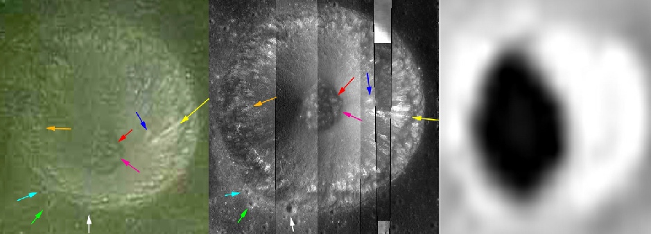
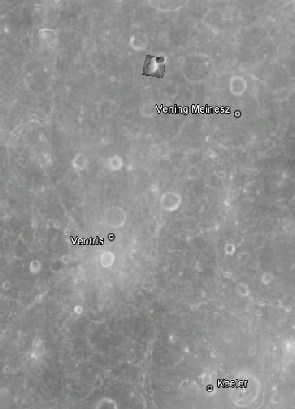
On this occasion, the medium resolution image does a good job of identifying the broad outline of the craters, and even picks out some quite small features (see right).
It would have been interesting to see how a high resolution version of this crater would have fared, but again it doesn’t exist -
Now let’s see how the selected portion of these craters compare from the various sources. The Apollo image is below left, the LRO below centre, and the LO is below right.
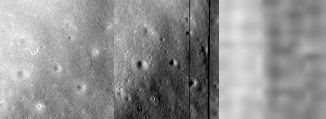
The figure to the right shows the comparison of the LRO view (left), Apollo (centre) and LO4 (right).
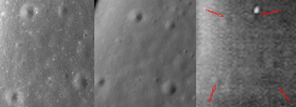
Thanks to the use of a high resolution LO4 photograph, the 4 larger craters can just be made out (see the red arrows), but as before the finer details are lost.
By contrast the Apollo view shows many of the much smaller craters visible in the LRO, demonstrating once again that Apollo photographs, even when taken from orbit, show much more detail than was available at the time to people planning the missions. The only way this could have been possible was to actually have the photographers where they were always claimed to be, and not in a studio on Earth.
Apollo 13 did take photos from orbit around the moon, but not ones that show any great detail, so the next photograph we choose is from Apollo 14, AS14-
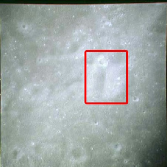
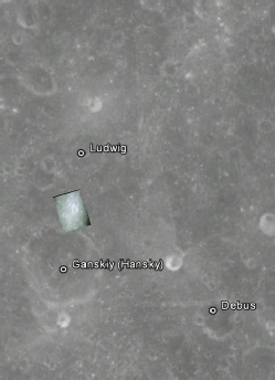
I’ve zoomed in on a small area of the Apollo view, and we’ll see how this compared with LRO & LO2.
Again the LO2 image, despite being only a medium resolution, does a respectable job of picking out the broad details, but the Apollo view (centre) shows much more, and more importantly more features that can be seen on the LRO view.
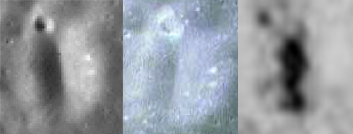
Moving on to Apollo 15, I’ve selected a photo that shows a crater that is just about visible from Earth, but only from the side, as it can be found on the lunar limb. The photograph is of a small crater north-
The image in question is AS15-
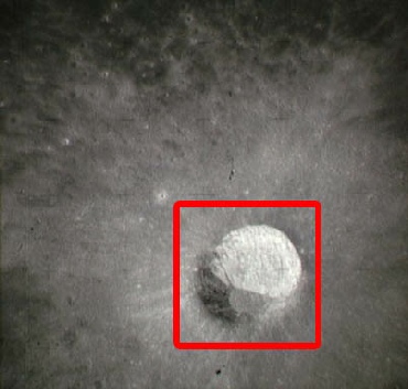
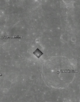
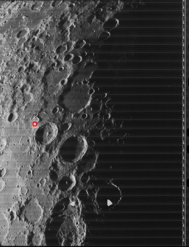
This time, the Quickmap site does not give a good image of this crater (too much is in shadow), so I’ve found a different one (from image M152383525LR) that shows more of the landslide area inside it. Japan’s Kaguya view is on the far right.
So, how do the Apollo (centre left), LO image (centre right) compare with the LRO one (far left) and Japanese one (far right)?
Well, for once the LO image isn’t too bad. There are differences in shading and orientation, but many of the craters visible in the Apollo and LRO images can be identified with little difficulty.
What happens if we zoom in a little more, sat on the largest of the craters?
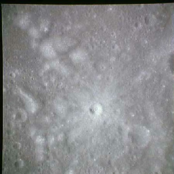
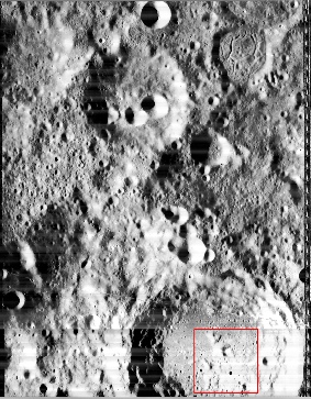
At first glance it looks like we may finally have found a LO image (centre right) that matches an Apollo one for detail, but are first impressions deceptive? The LRO version is on the far left, and Kaguya on the far right.

This time the LO does show a good match. Just for once, Apollo and LO are in almost complete agreement, but it has to be said that the are quality issues with the LO view, as well as very obvious lighting differences.
There is no denying that in some areas the LO photograph exceeds the Apollo image in terms of quality. For once, we have to concede the point -
If we zoom in a little closer on this overexposed crater, we can see that the Apollo image reveals details that are comparable to a close-
For one final look at orbital images we turn to one individual crater that has been imaged many times: Saenger.
Saenger is a far side crater whose shape and secondary cratering makes it easy to pick out. It also benefits from having been imaged by both Chandrayaan and Chang’e-

Several Apollo images exist of this crater, including similar, but less clear, oblique views from the Mapping Cameras of Apollo 15 and Apollo 17. The best image for Posidinius is, however, from magazine 91 of the Hasselblads, and this is an excellent magazine to use because it contains not just images of the lunar surface, but also shows parts of the Apollo ship itself and several images of Earth at the beginning and end of the mission that can be dated very accurately using weather satellite images.
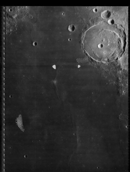
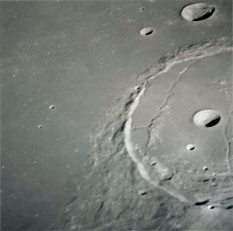
OK, so it’s quite a big crater, so let’s split it up into more manageable chunks. The first bit to look at is the little wriggle of rille that is at 9 o’clock on the Apollo image heading from from just inside the crater to the crater wall. In order to make the images more directly comparable, I have stretched the LRO oblique image (right) so that it matches what we can see in the LO4 (centre) and Apollo (left) views.
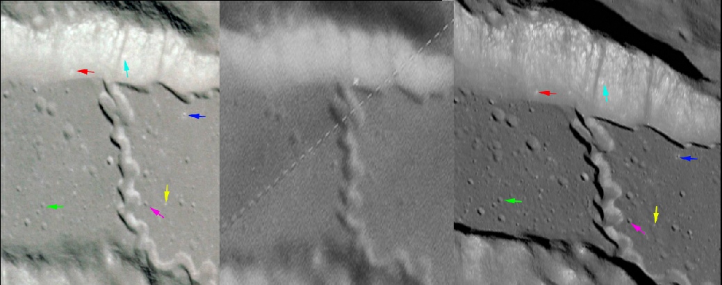
Now let’s look at the large crater within Posidonius, captured not quite in its entirety by Apollo and LRO. As before, the LRO view has been stretched to make comparison easier.
While there aren’t many craters around this one, there is plenty of mottling within it that matches the crater, and subtle markings around the rim, that are very obviously there in the Apollo and LRO images but not the LO4 one.

For the next crop I’ve zoomed in a little further (hence the larger arrows -
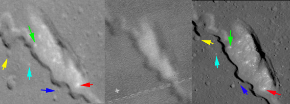
Lack of space prevents the inclusion of the zoomed Lunar Orbiter view, but trust me it does not show the level of detail that the others do. Once again Apollo provides details you can’t see in images that pre-
Another point to make is that the viewing angle of the crater here is not one that could be achieved from Earth -
We could go on, but there are other photographs to look at.
Could these details have been seen from Earth? Well, I haven’t seen any photographs showing them, and the Apollo view is taken from an angle that can’t e replicated from Earth and also sits amongst photographs that prove when and where it was taken: orbiting the Moon.
For Apollo 16’s choice we are fortunate in having a magazine containing precisely datable images of Earth (see here) as well as views of the lunar far side. The candidate for this mission is AS16-
While the resolution of Chandrayaan’s image is not as good as either the LRO or Apollo photographs, it is still possible to make out the craters that Apollo imaged in greater detail than the original Lunar Orbiter probe did. So you can’t just say “oh it’s all NASA it’s all NASA” like some demented moronic parrot, because India confirms that Apollo’s data are correct.
We can look at another non-
It’s usefulness, however, is that it is of a quite nondescript, bland little crater, Benedict, part of the larger Mendelev crater, again on the lunar far side, and more importantly that the photograph is sandwiched between several Earthrise views, which again can be precisely dated (see here). The Apollo image covers an area roughly 30 km wide.
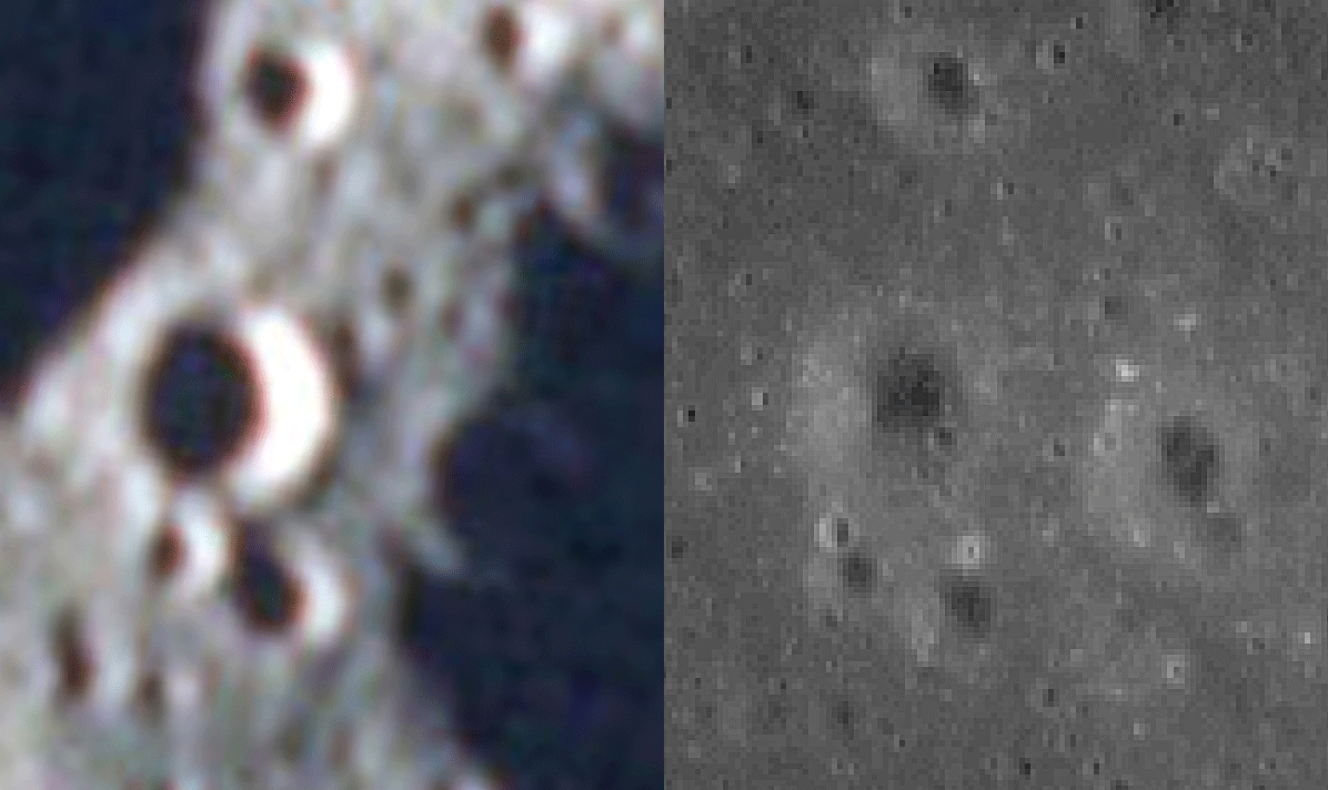
Isn’t pareidolia wonderful?
So, the next time some hoaxer idiot tries to claim that there is some conspiracy to hide images, tell them they’re wrong, and that even if the only copies out there are poor ones, they still have enough information in them to prove that Apollo happened, and that it can be verified by satellites that aren’t American.
Conclusion
So, after picking photographs from all the missions, taken from the lunar surface and in orbit, what can we reasonably conclude from this exercise?
The main thing is that wherever there is an identifiable surface feature photographed or filmed by Apollo that falls within the optical capabilities of the LRO, it can be found in an LRO image.
We have to concede that there are some areas where the Lunar Orbiter data are an equivalent to the LRO images, but for the most part the fine details in Apollo images don’t appear in Orbiter photographs. The fine details that do appear are arguably more a product of modern techniques of reproducing the LO images.
NASA themselves did a comparison of Orbiter and Apollo photographs after Apollo 8, as reported in the Analysis of Photography and Visual Observations. Those carrying out the comparisons felt that Apollo photographs had much better quality and dynamic range, allowing smaller features to be identified -
They also concluded that, good as Lunar Orbiter photographs were, Apollo photographs were better. Only with the introduction of the LRO’s superior cameras did the features photographed by Apollo come to be photographed again. In fact, the images were so good they replaced Lunar Orbiter images altogether for some training exercises in Apollo 10 (Apollo 10 Photography Report). Likewise the Apollo 10 photographs were also much more useful in seeing smaller feature and deriving measurements of slope angle and other mapping processes.
For the hoax proponents to be correct, every single inch of the LRO’s surface coverage that was photographed by Apollo would have to have been gone over and manipulated to make sure it matched with an Apollo view, because you never know when some other country might put a probe up there that will prove it all fake! This would also apply to the many areas that only recently have been identified from Apollo photographs. There are a number of Apollo photographs whose locations were not known and were simply left as unidentified by the original cataloguers. It was up to enthusiastic amateurs (like myself) to identify the locations of those images. How could they fake them if they didn’t know where they were taken?
Most hoax proponents will just arm wave away this research -
The simple fact is that we went to the moon, and the reasons that the Apollo photographs match the LRO views is because astronauts were on the moon. That’s it. They could not have produced anything on a lunar set on Earth, because they did not have the detail available to do that. They did not manipulate the photographs once better images came along, because they had already been published and were freely available for sale (don’t believe me? Check out the back of those photography reports).
The morons who refuse to accept the evidence of their own eyes will just have to deal with it, their hoax theory just took another battering.
If you want to check things out yourself, then you should go look at:
India’s images (needs registration): Chandrayaan 1 and Chandrayaan 2 (with interactive map for some calibrated TMC data from Chandrayaan-
China’s images (register to browse their files or use the WebGIS link to browse the lunar map products)
You might also want to check South Korea’s Danuri probe LUTI and Shadowcam links. The Shadowcam map also shows Apollo Metric Mapping and Panoramic Camera images.
(Links updated 05/08/24)
I should also point you towards this page that covers the Hycon camera carried on Apollo 14 for yet more very detailed images of the moon showing details replicated in modern images but not known before we went. Oh yes we did.
The LRO view taken from the Quickmap link has quality problems of its own, and is a composite of several passes, but the inner markings are clear enough to see, as are several smaller craters around the rim. The Apollo image (on which I have changed brightness levels, and stretched to compensate for the oblique angle) even as a low resolution copy shows features that can be identified as appearing on the LRO view. It would be interesting to see how a high quality print of the photograph compares.
By contrast, the LO image shows hardly any detail, and even if it did, the western half would show nothing at all as it is in shadow. It would be interesting to see if a high resolution pass exists, but as of the time of writing I have not found it.
As it happens, sometime after this page was originally written, higher quality scans of the Apollo image did appear at the Project Apollo Flickr Archive, and Benedict crater is big enough to show good levels of detail in Japanese (below centre) and Chinese (below right) images. The higher resolution Apollo image is shown below left, and is again stretched to match the overhead views of the probes.
Moving on to the next mission.
Apollo 12’s photographic record is not the best. The bulk of the orbital images are in a couple of continuous transects, and relatively few are far side vertical shots.
So, let’s be brave. Let’s pick one from the near side. The smallest area covered is that on AS12-
Again, at the risk of repeating myself, the Apollo photograph (especially the high resolution one) reveals remarkable detail of this crater, details that are clearly seen in the LRO and Japanese views and which are not seen at all in the LO4 picture. A high resolution LO4 image taken from a lower altitude may well have revealed more detail, but there isn’t one, so how did Apollo get that photograph?
By being there.
We can do some more work for Apollo 15 thanks to this website, which produced a beautiful oblique image of the crater Posidonius. This image is shown below, and has been inverted to show the correct view. The full size and uninverted image is here.
What happens, as usual, is that the superficially detailed image from LO1 becomes much less useful in identifying surface features. The Apollo photograph, on the other hand, contains a wealth of detail that is replicated exactly in the LRO image (which is from Quickmap and now uses a more detailed layer). While the Kaguya view is partially in shadow, there is still enough there to corroborate the Apollo and LRO view, Once again even low resolution orbital images taken by Apollo show features that it would take another 40 years to reveal to new cameras.
Granted a skilled interpreter could have deduced the size of the crater floor from the arrangement of the shadows, but in the absence of any other detail they could not have predicted the distribution of material in the crater, and the pattens of light and shade this produces. I would argue here that, good as the LO view is, a higher resolution Apollo image would have wiped the crater floor with it in terms of the level of detail revealed.
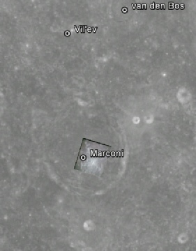
For the final mission of the Apollo lunar landings, we have a photograph taken of the centre of Marconi crater, AS17-
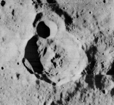
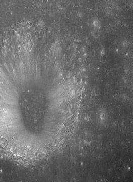
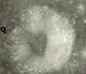
As you can see, the only pre-
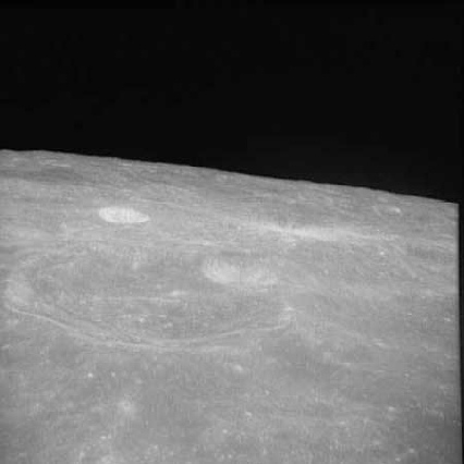
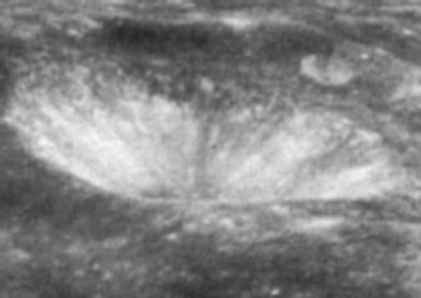
The key feature here is the dark stripe running vertically from the crater floor to rim. We are looking north-
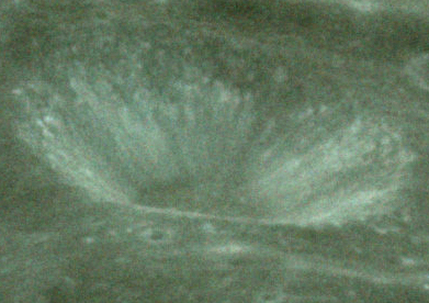
It should be obvious that the crater is both the same one featured in the Apollo 10 view, and is the same one pictured by Chinese and Indian satellites.
Different orbital parameters for subsequent missions meant that Saenger would not be revisited until 1972 and Apollo 16. We have an excellent image from that mission that again can be dated exactly: AS16-
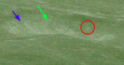
The oblique angle of the image means that only areas shown by China’s probe are visible, and I’ve added some markers to help with identification.
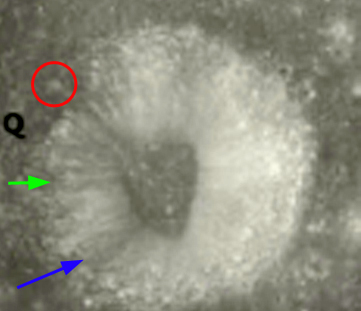
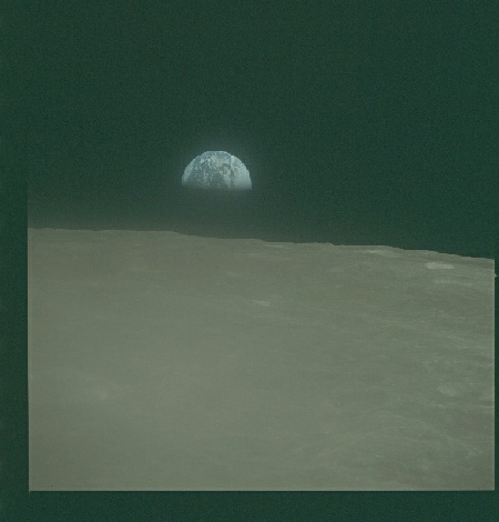
Apollo 16 also saw the use of high resolution mapping and panoramic cameras, and we have a couple of examples covering Saenger Q that allow comparison with the better quality Chandrayaan shot. The images used are AS16-
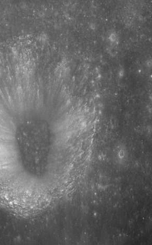
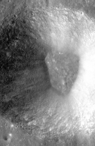
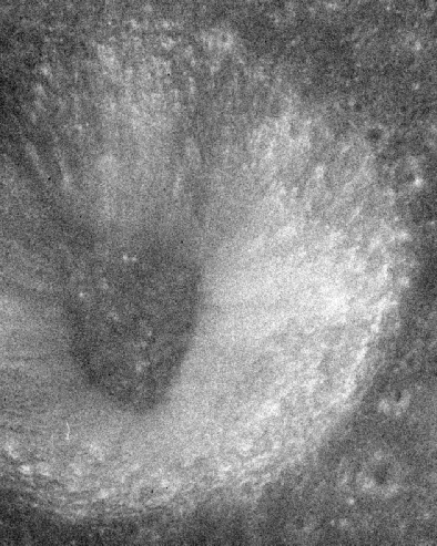
The only differences that can be be made out here are those resulting from the angle at which the images were taken. It is completely undeniable that the Indian probe’s view (left) is showing the same crater details as those from the Panoramic (centre) and Metric (right) cameras. These details are totally absent from the LO2 image.
Apollo’s final visit to Saenger features it in a couple of magazines, but the most useful one is Magazine 151, as again it has images of Earth that allow exact dating of the photographs. The image used here is AS17-
As before, the stripes and mottling on the crater walls, and the markings on the crater floor, are clearly identifiable and are an exact match for those of the Chinese and Indian photographs.
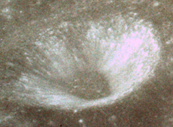
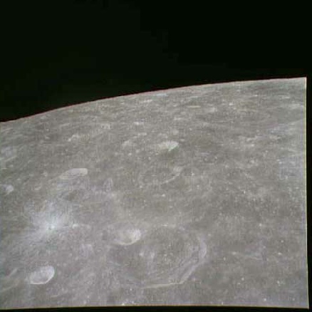
Again, we have an exact match with our Asiatic satellite sources.
As with Apollo 16, we also have Panoramic and Metric images showing Saenger Q, and two examples have been chosen to represent them, AS17-
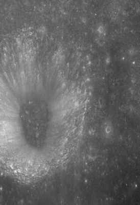
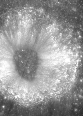
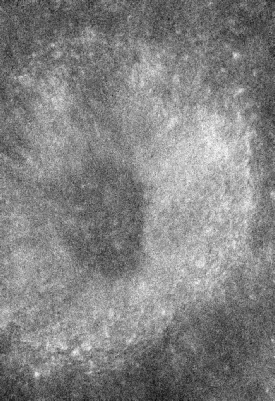
And again, unsurprisingly, we have photographs taken by an American camera in lunar orbit that exactly matches a photograph taken by an Indian probe in lunar orbit. Conspiracy theorists well desperately cling to the notion that this is because China, and Japan, and India, and whoever, are all in on it together, but the real reason is much simpler and more obvious: they were all taken in lunar orbit. None of the details in this crater were known about prior to Apollo.
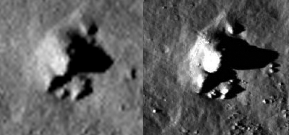
Oh, and just for fun and to keep the UFO nuts happy, here’s what you get if you zoom in really close to the LRO view of the crater (right), compared with the Panoramic image (left): a giant alien stone man sitting on a throne talking to some minions:
Seeing as we’ve started with a crater per mission we may as well continue. The bulk of Apollo 11’s photographs are concentrated on the near side, and relatively few are on the far side. Picking an image at random gives us this one, AS11-
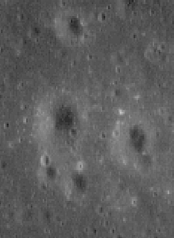
This time we do have a high resolution image to play with, so let’s zoom in and use a much smaller component of that photograph, outlined in red.
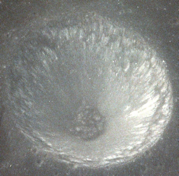
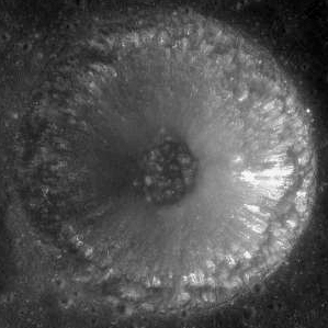
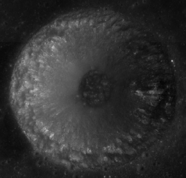
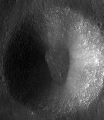
A later addition to the data archive is the availability of Japanese images, and the Kaguya versions of the three areas are shown below. Draw your own arrows -

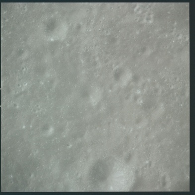

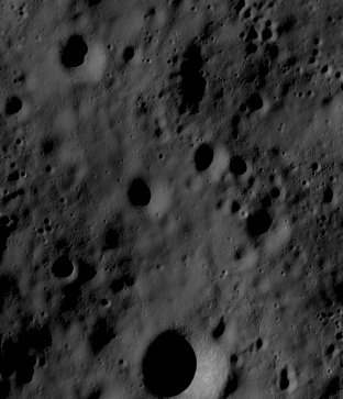
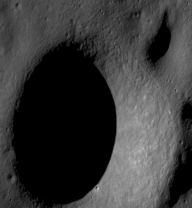
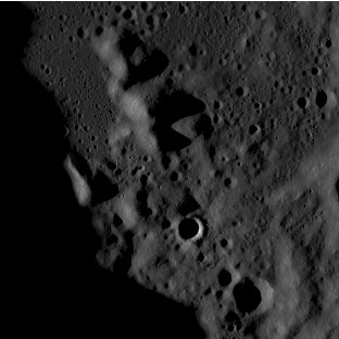
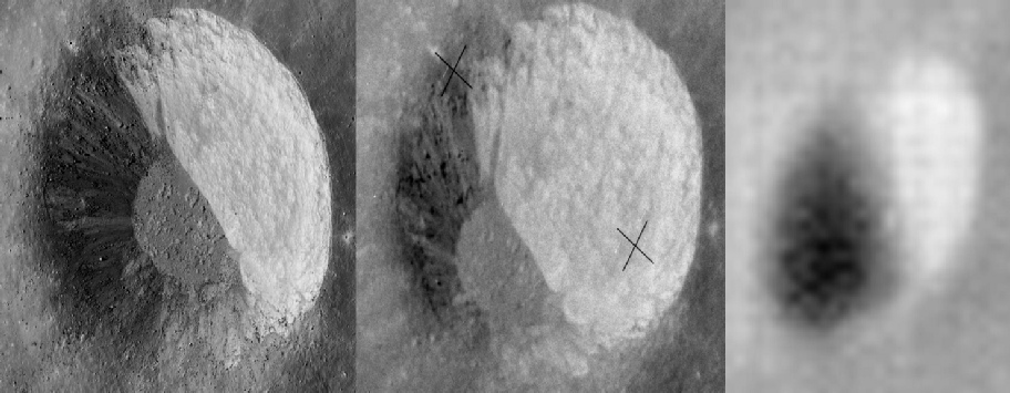

Another Apollo 15 image comes courtesy of postings by another conspiracy nut, although this one at least thinks they went to the moon (just that the moon is an artificial object). The poster in question linked to AS15-
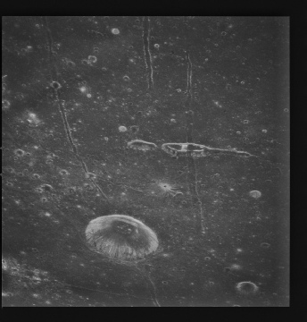
What we can do now is compare the detail in the Apollo image with that in Japanese (top left), Chinese (top right), LRO (bottom left) and Lunar Orbiter images (bottom right):
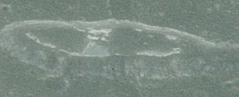
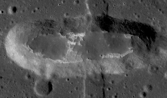
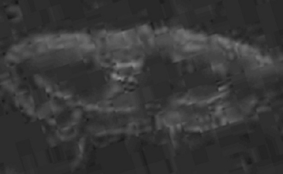
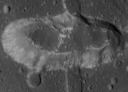
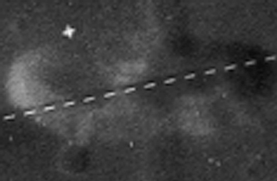
Superficially the Lunar Orbiter image does a decent job, so let’s go in further to be sure. Here we have Apollo (far left, stretched to compensate for the viewing angle), Japan (centre left), China (centre right) and the LRO (far right -


Even Apollo 11’s TV images are better than Lunar Orbiter. No sooner had they settled into lunar orbit than they began a broadcast. It started over the far eastern edge of Mare Smythii, showing craters like Haldane and Schubert in colour and from an angle not possible from Earth. One of the craters they filmed was the one sown below, close to Hume crater. It’s shown here with a Chinese (left) and LRO (right) comparison:
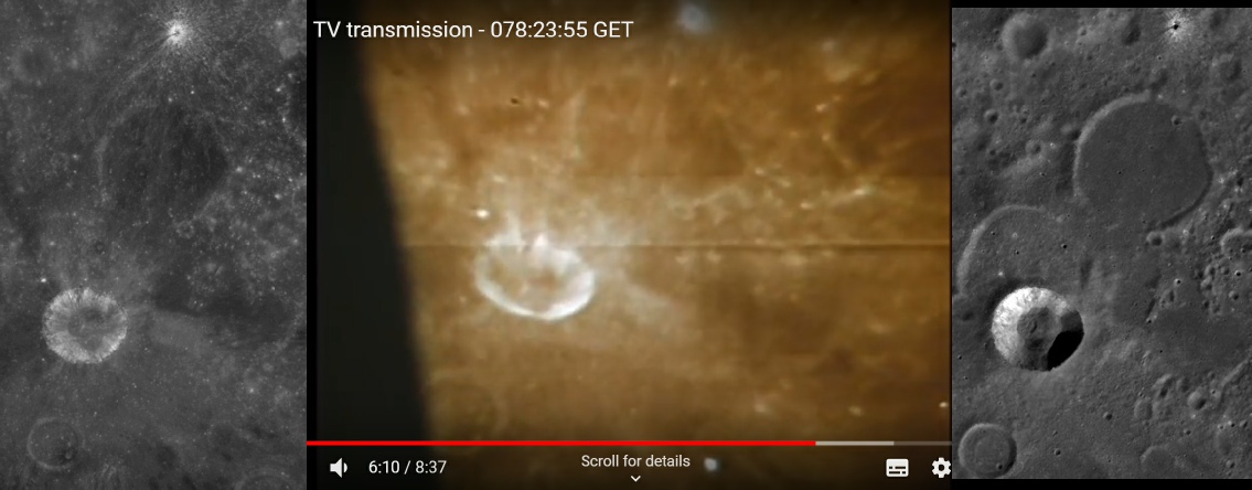
This is the best view of the crater seen by Lunar Orbiter.
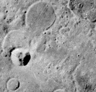
It’s close, I can give it that, but the fine detail of the ray pattern in and around the crater is missing -
There are some, but not all of them can be seen.
Strike one for Apollo there I think. While the Apollo orbital image is not as clear as the LRO’s much better camera, the major craters are still visible. The LO1 image, on the other hand, has resolved into just light and shade, and absolutely no detail is rendered.
Despite much searching, I have only found a few distant views of Mendelev crater, and the best one (for now) is this one from LO1.
This frame does have high resolution coverage, but not of Benedict crater.
I don’t think we need arrows to show that the Apollo image shows exactly the same features as the Chinese and Japanese photographs, and that those in turn are a match for the LRO view.
The image itself, AS15-
The LO4 image does show the broader features visible in LRO and Apollo photographs, but once you look beyond that it doesn’t take craters and other objects to get much smaller before they disappear from LO4’s radar.
Also very noticeable are the mottling effects on the crater rim that aren’t there in LO4.
While the Apollo image is starting to degrade in terms of what it can show us relative to the LRO view, it still shows considerably more detail than the LO4 photograph -
Now that we know what foreign governments have done in terms of imaging this quiet little backwater, let’s look at what Apollo has seen from orbit. The first shot is from Apollo 10, AS10-
The magazine this came from also contains an image of Earth that can be dated precisely, so we know for certain when it was taken. Here’s a close up of Saenger Q from that image.
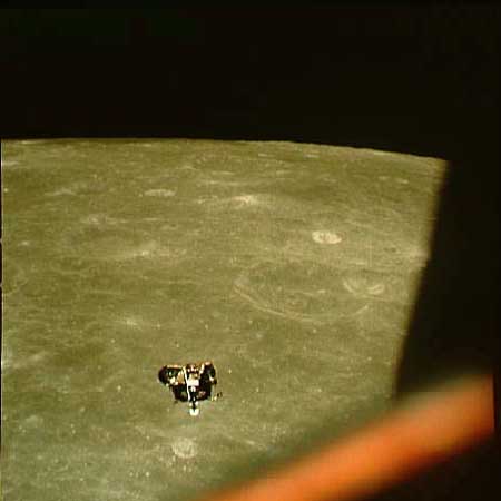
A couple of months later, Apollo 11 flew over the same area, and while there are a few images of crater Q the best come from the sequence showing the LM ascent module returning to meet Michael Collins in orbit.
This sequence ends with photographs of the Earth rising above the horizon, and again these can be dated exactly. The image we use here is AS11-
